SENDA / PYRENEES
Photography
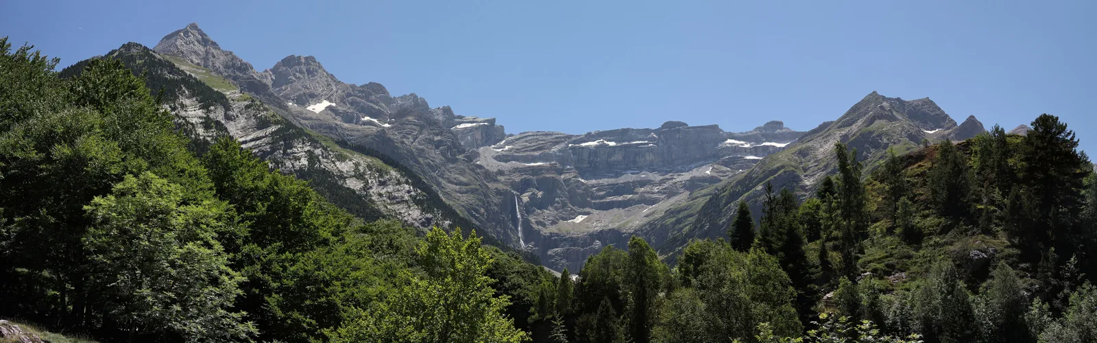
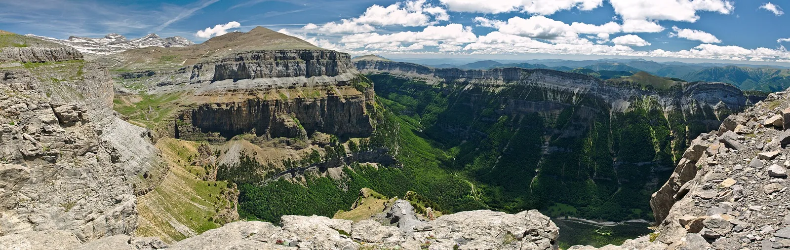
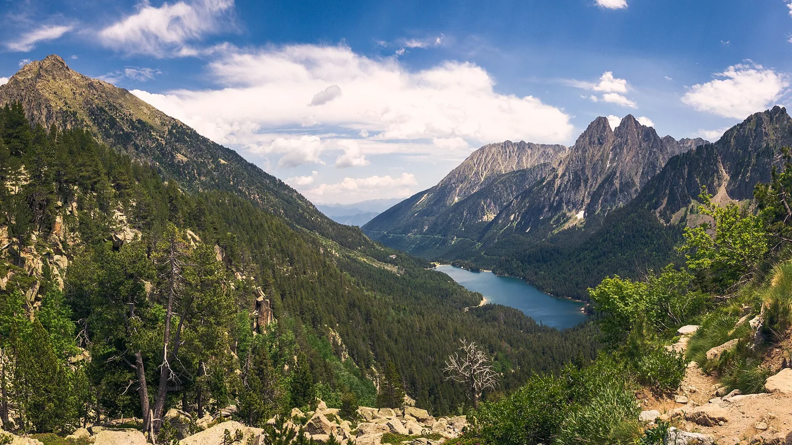
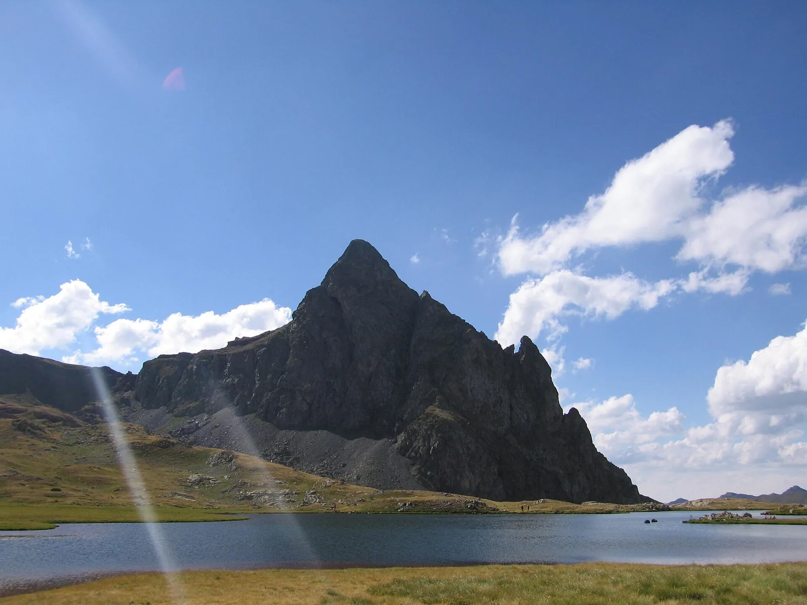
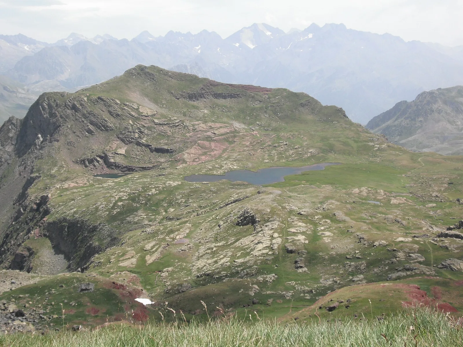
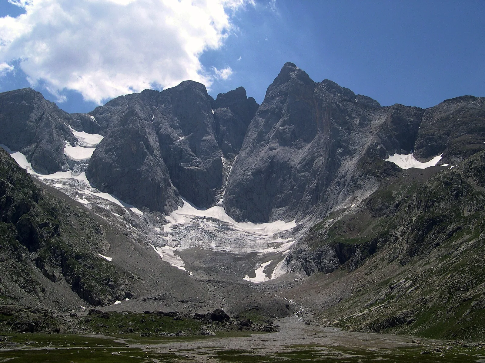
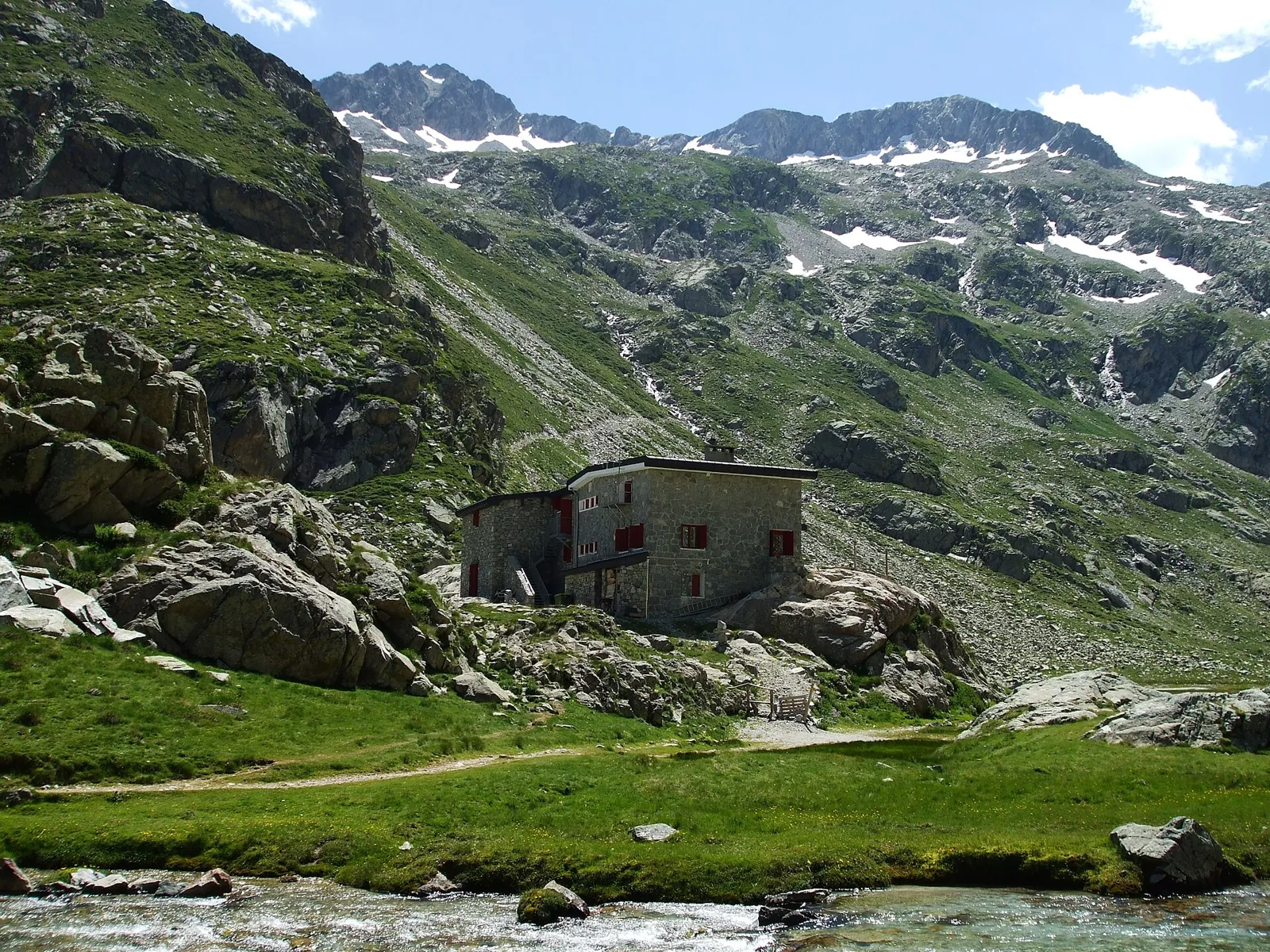
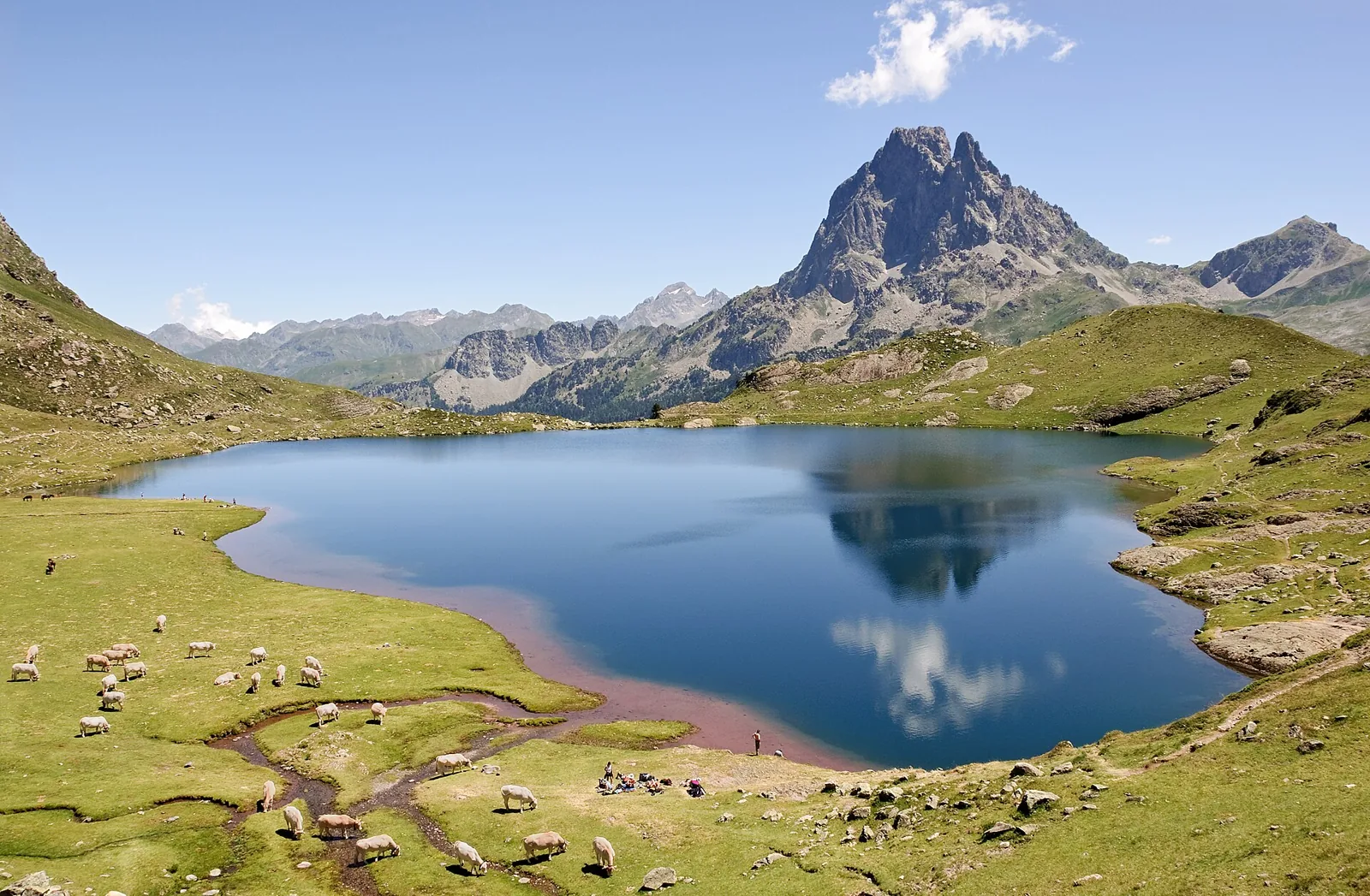
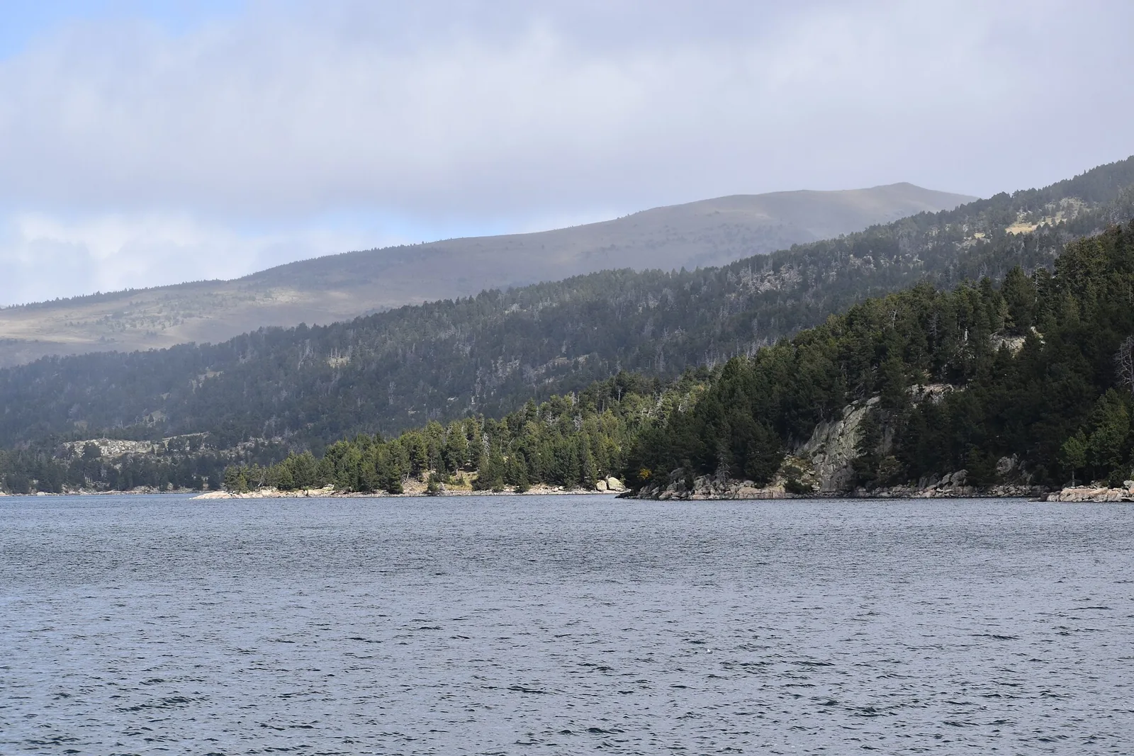
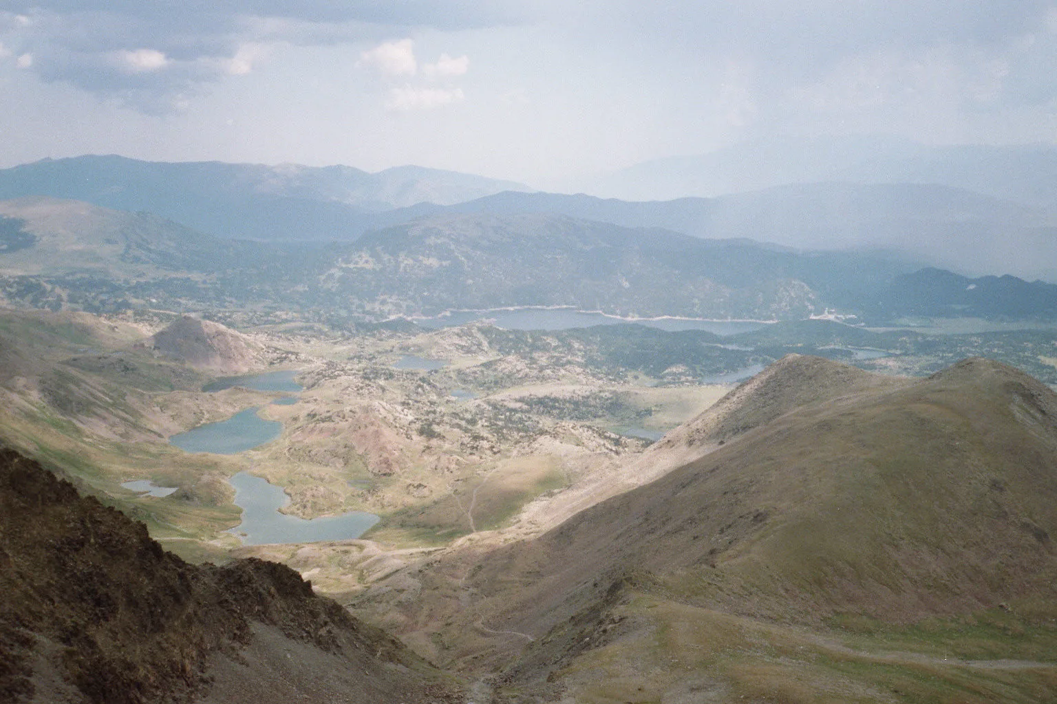
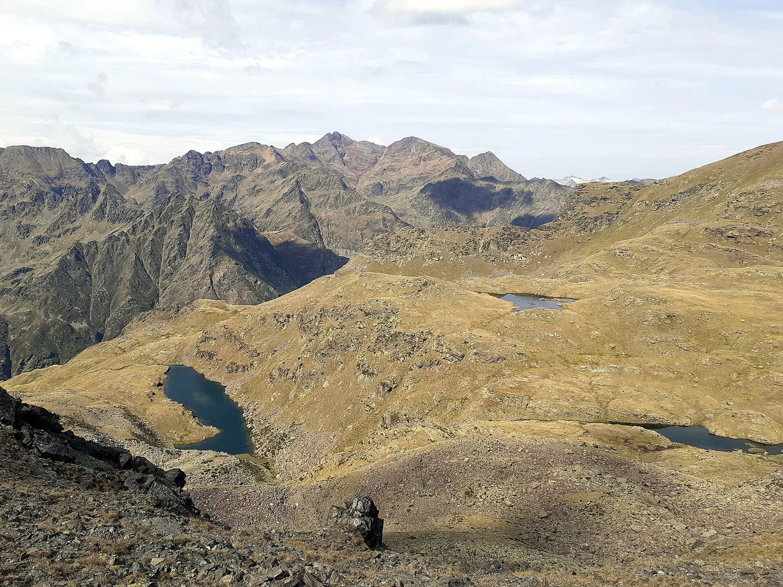
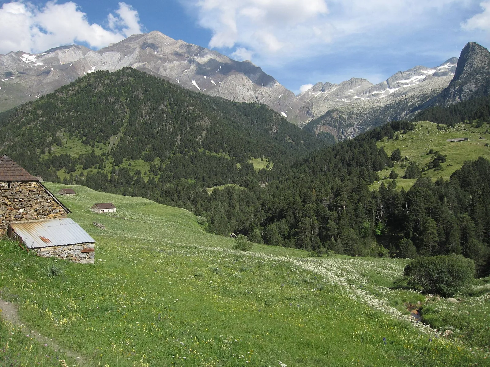
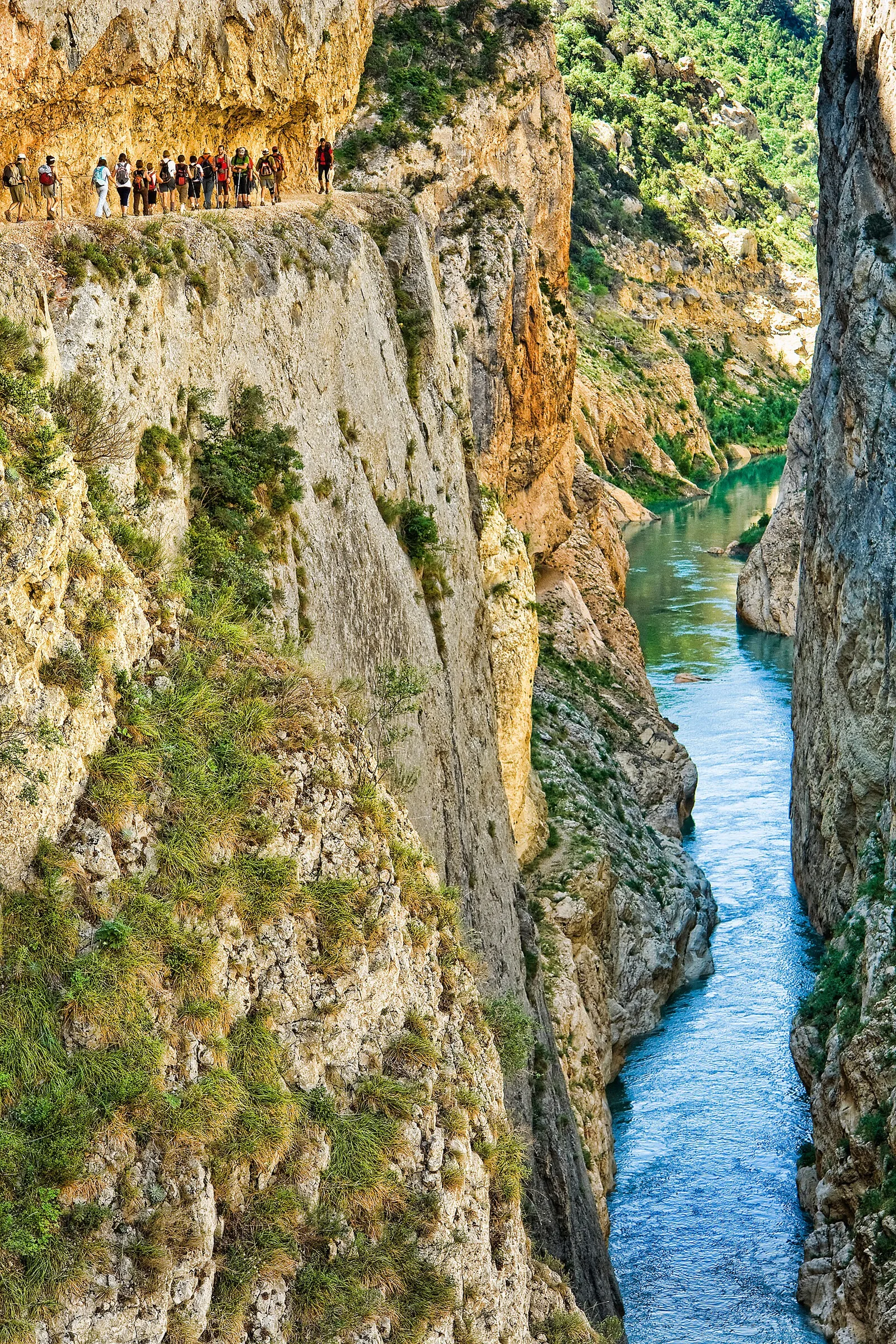
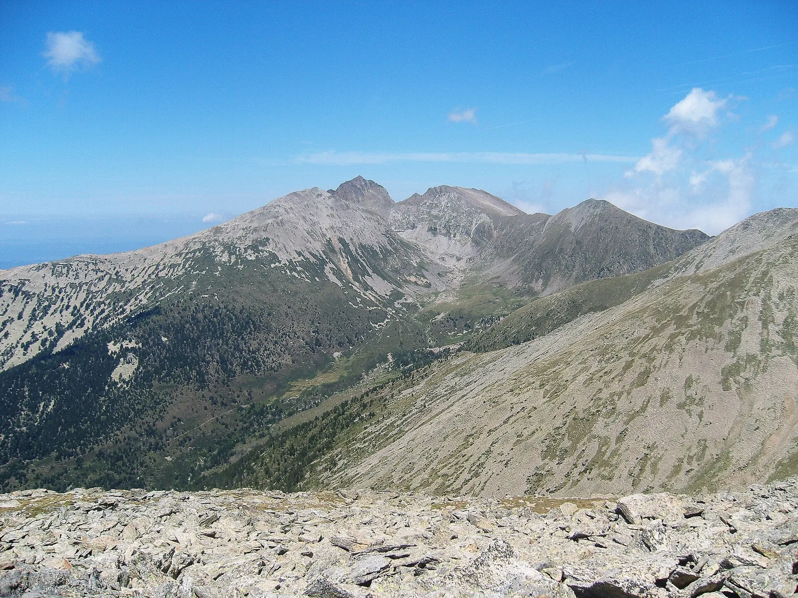
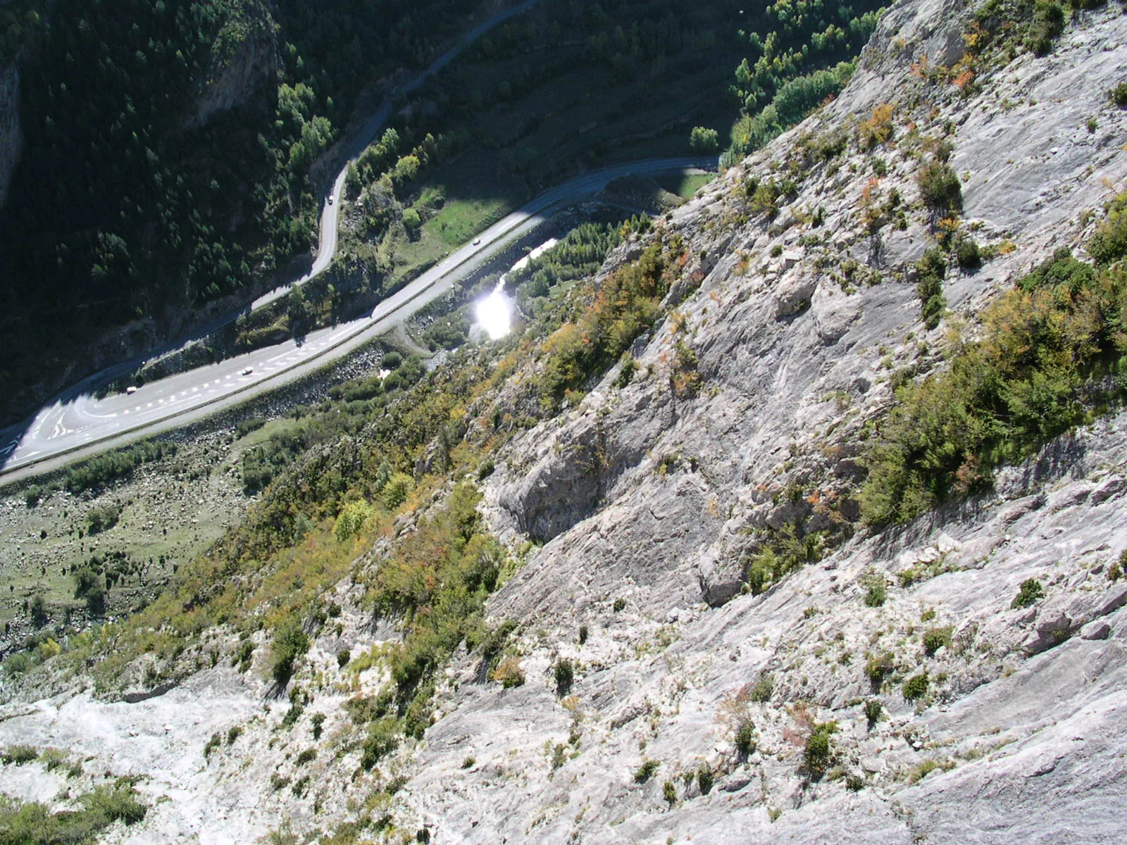
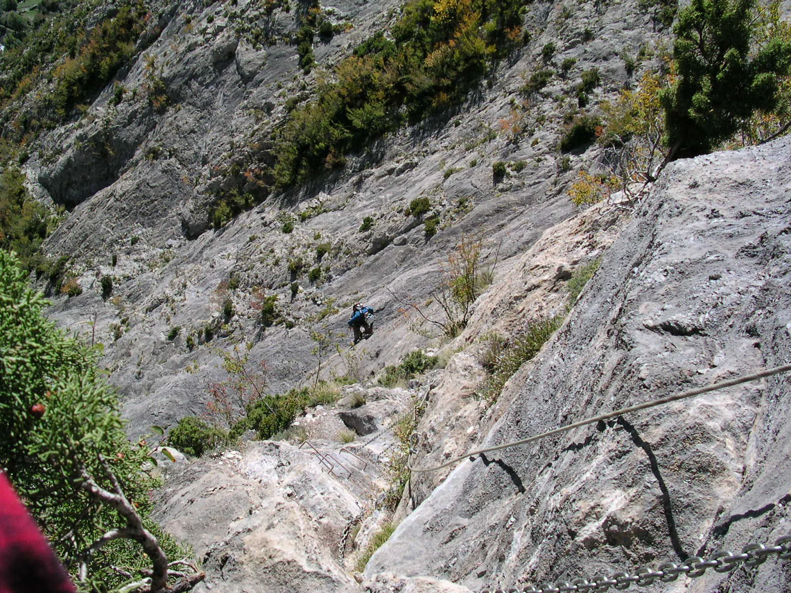
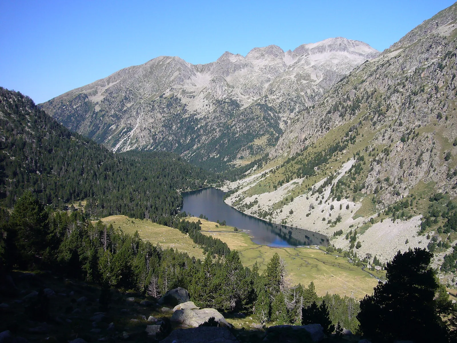
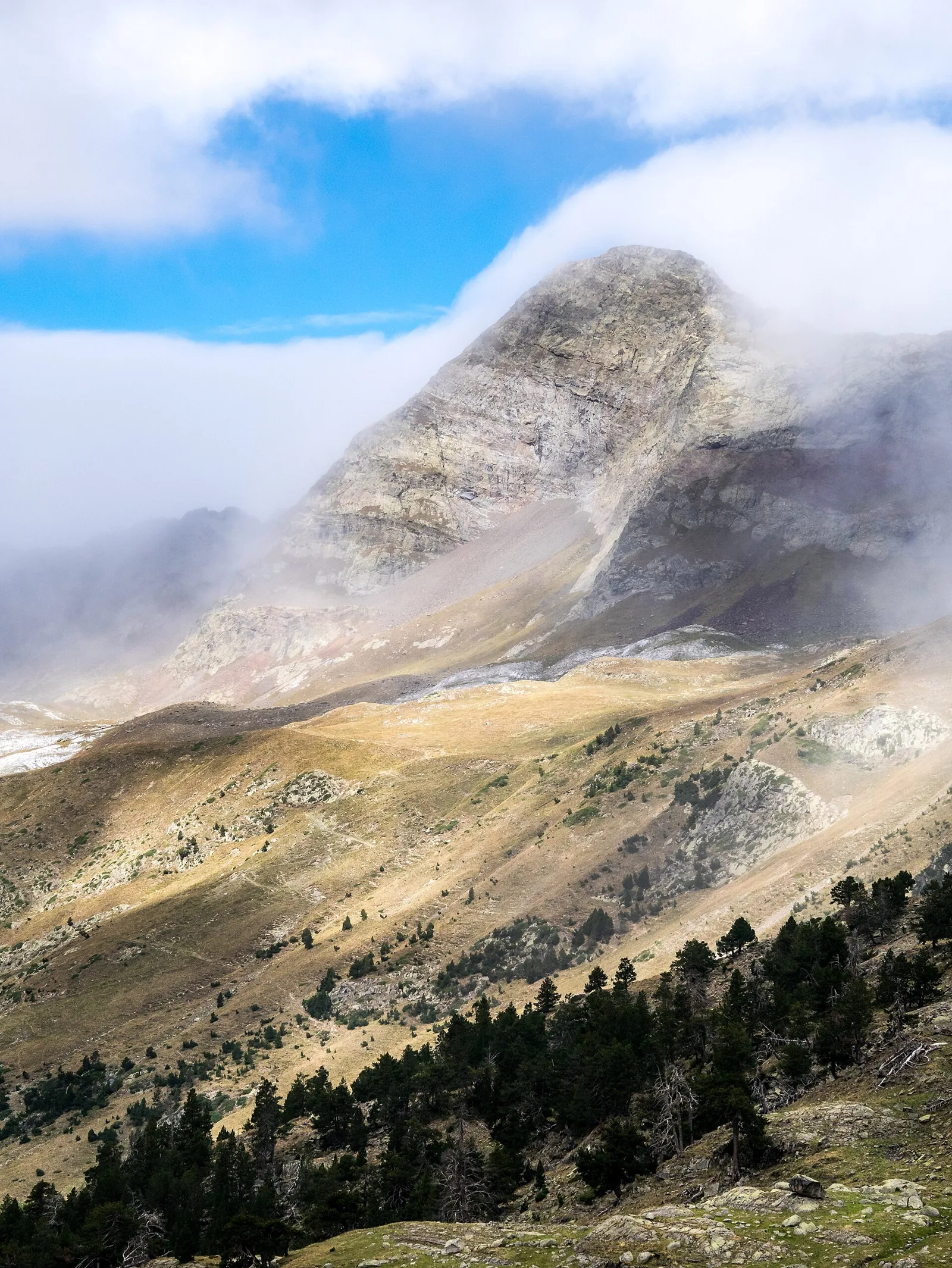
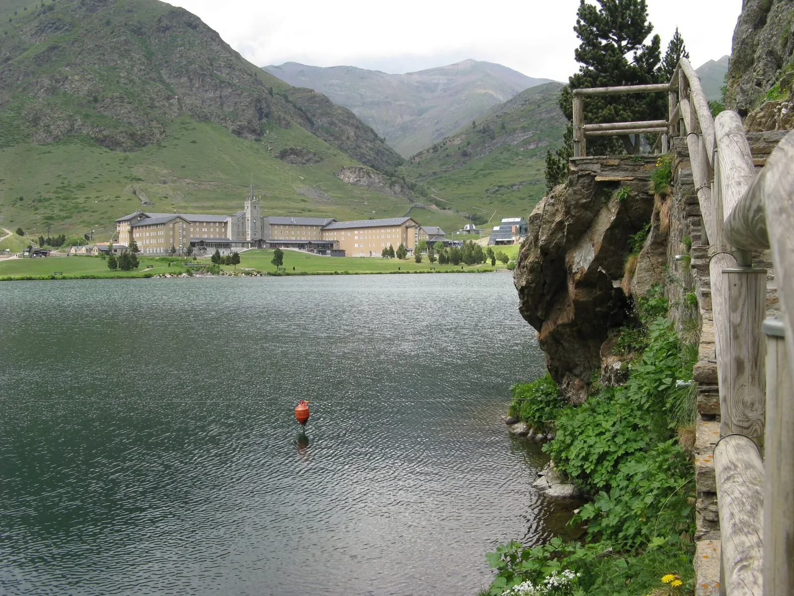
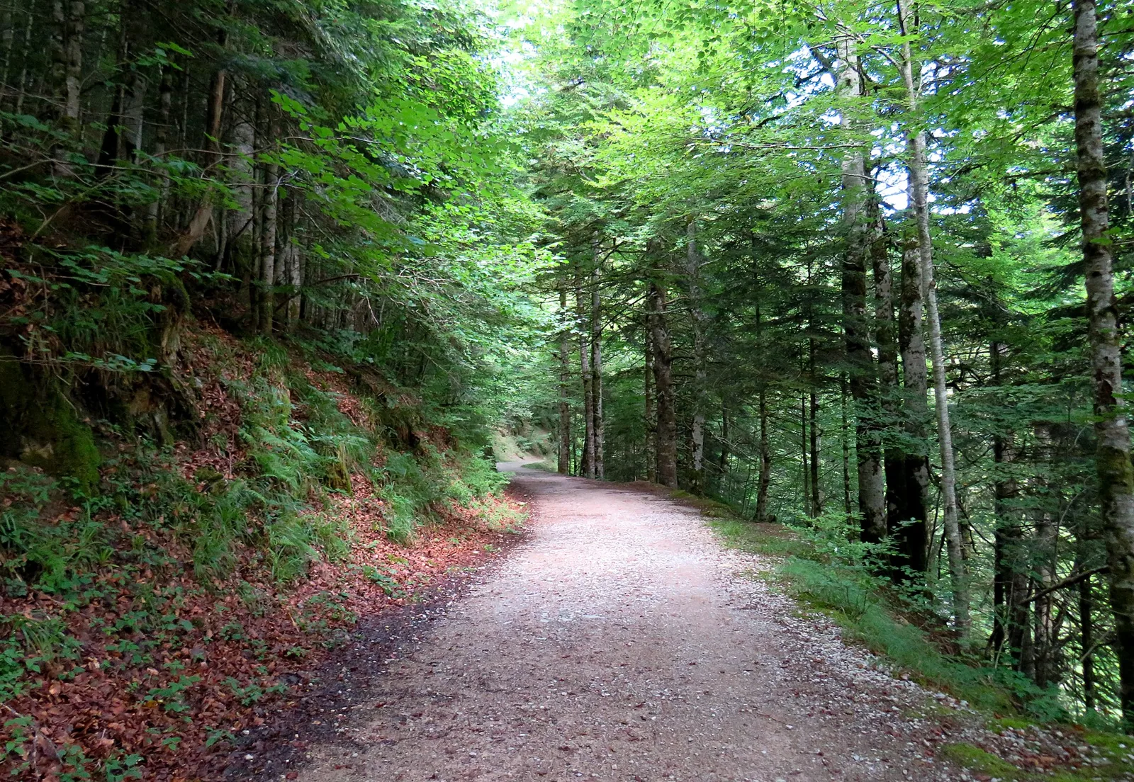
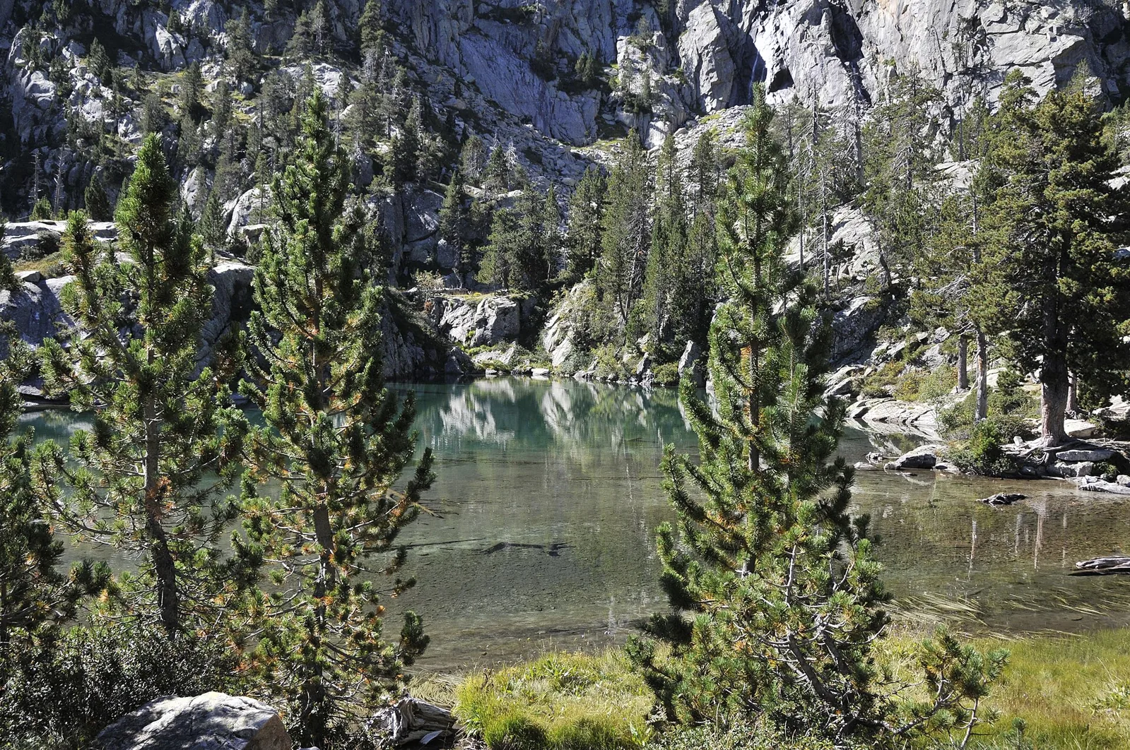
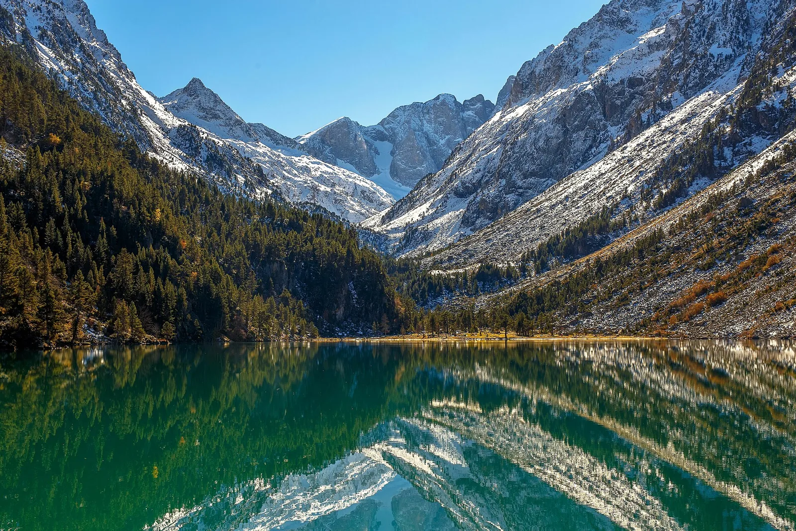
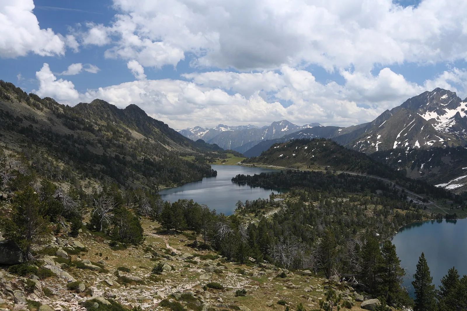
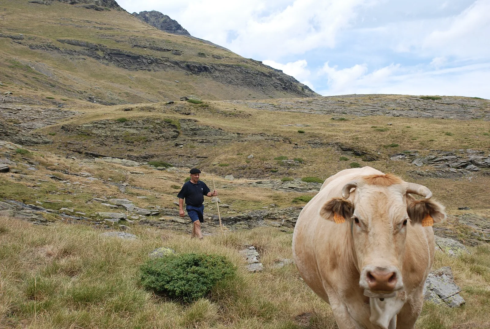
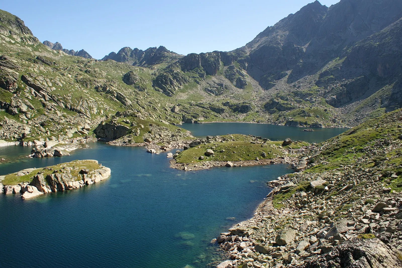
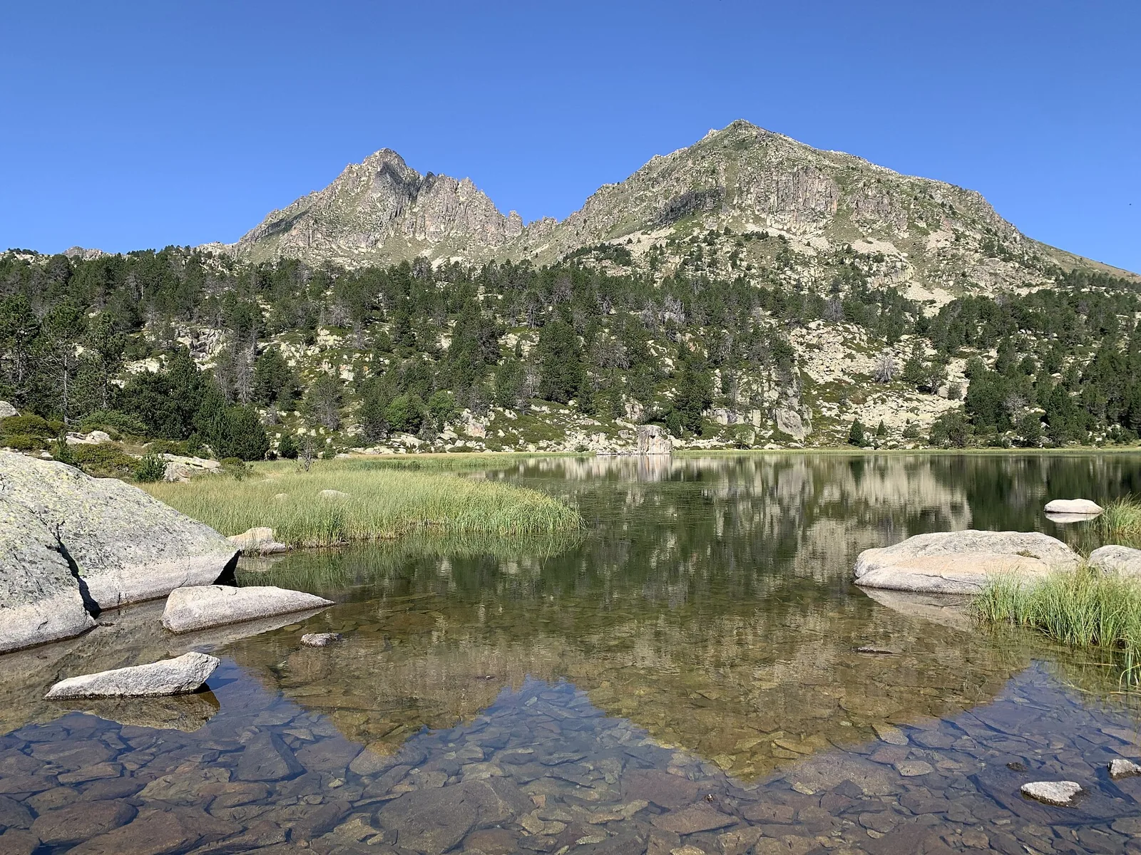
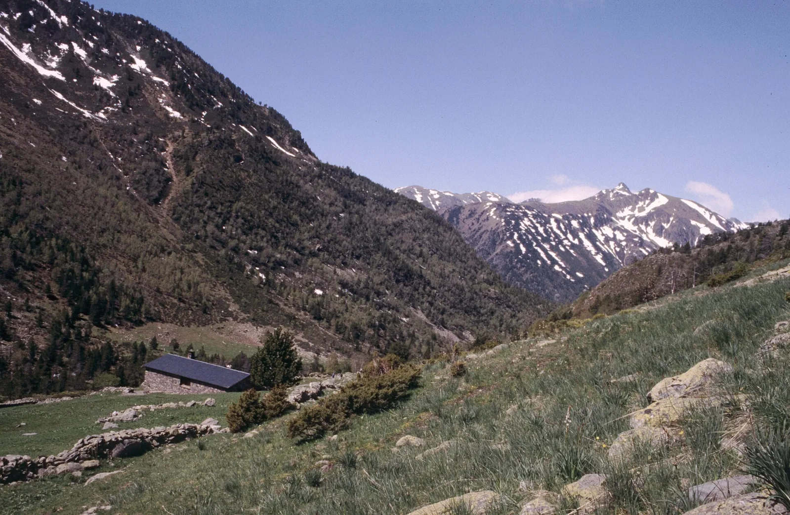
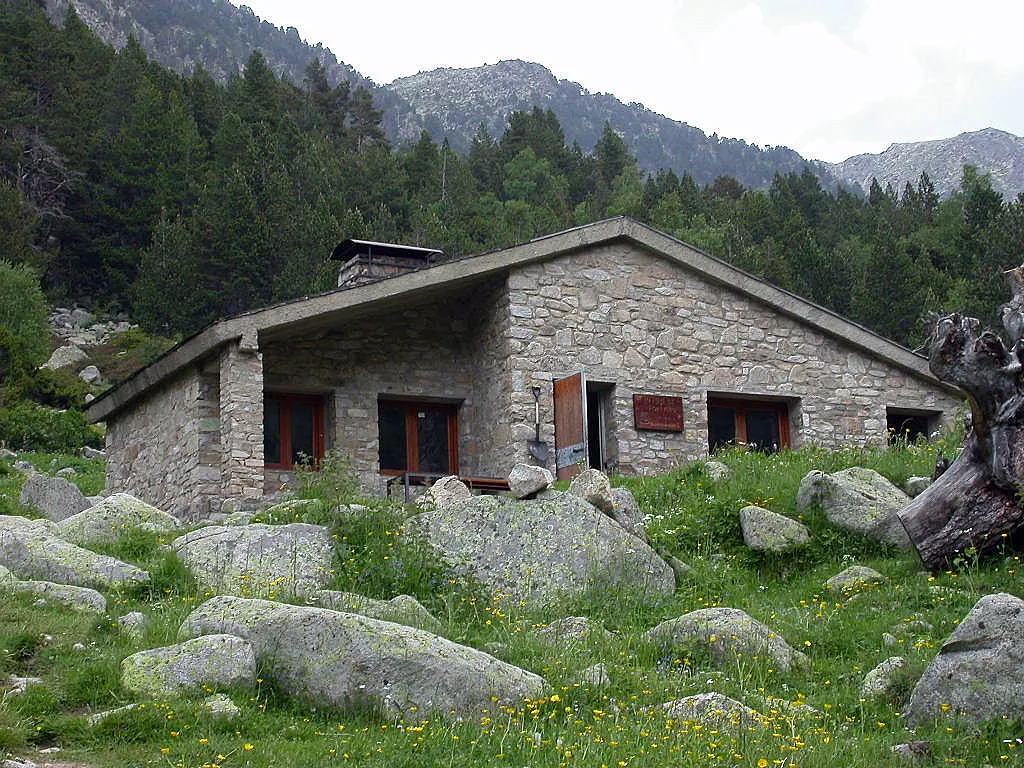
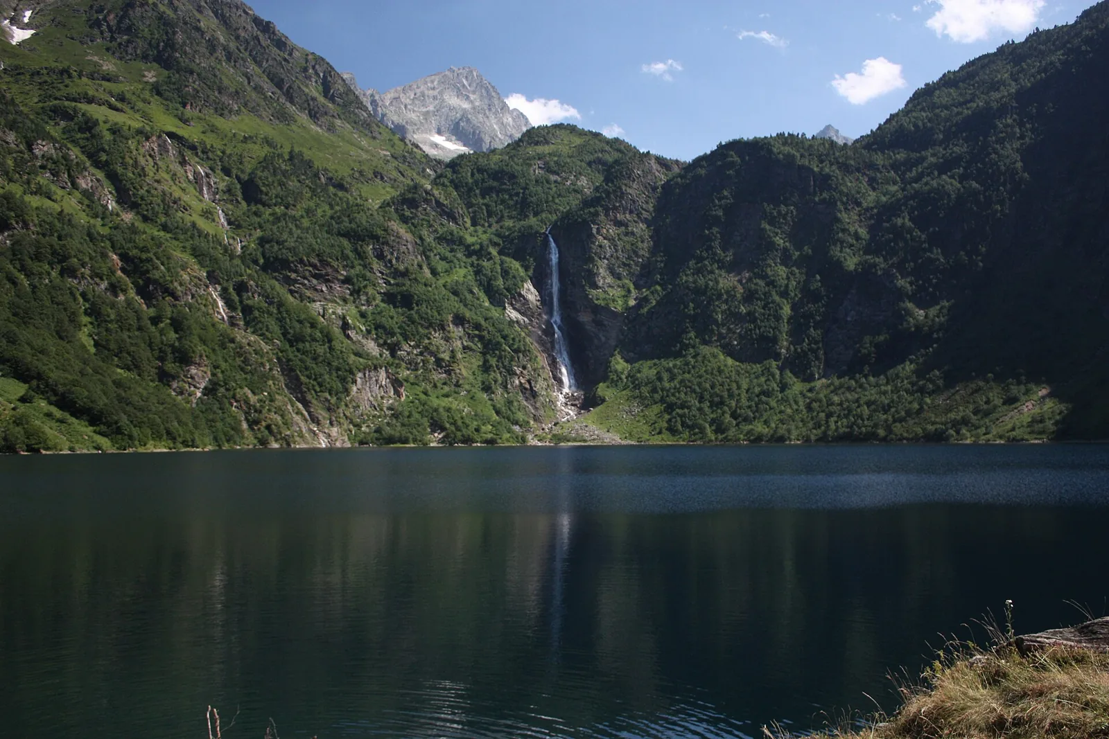
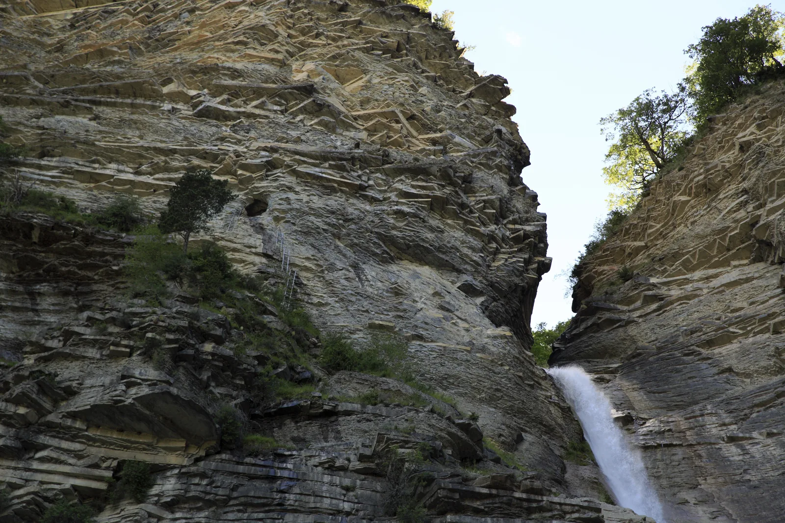
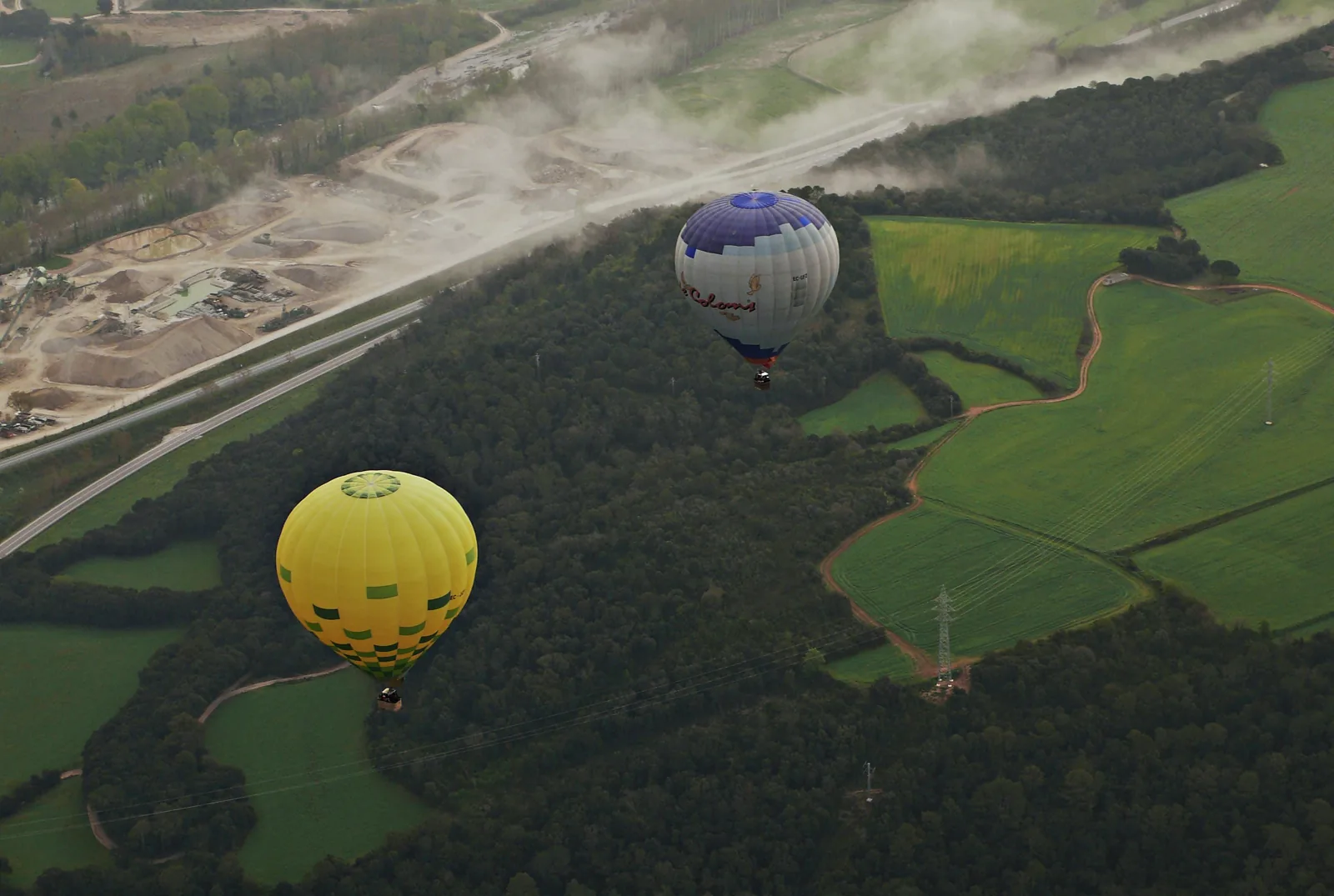
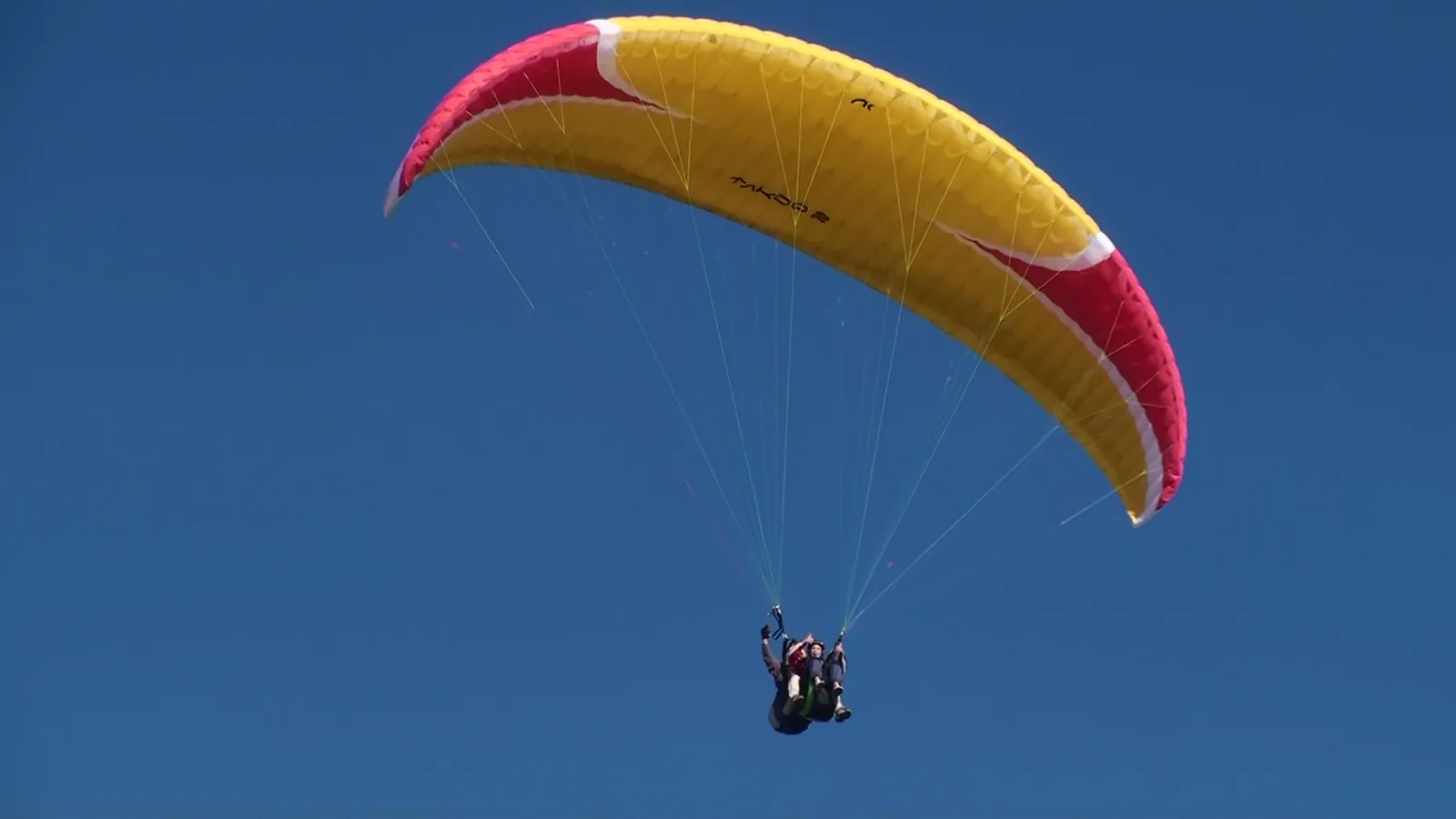
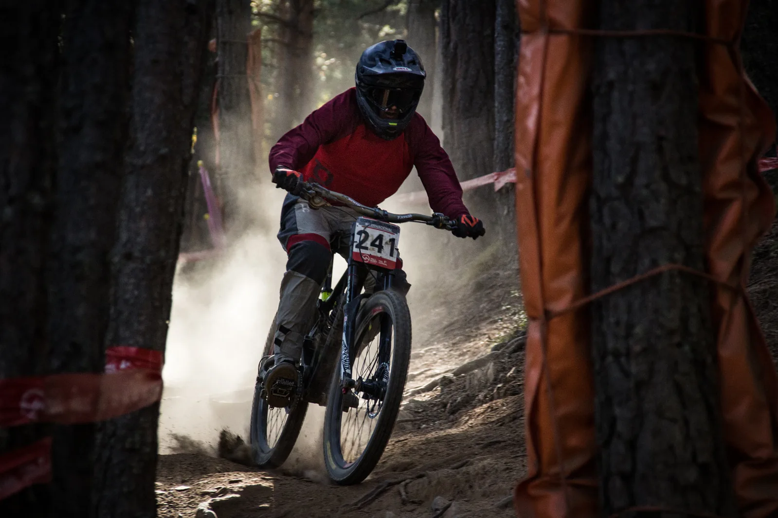
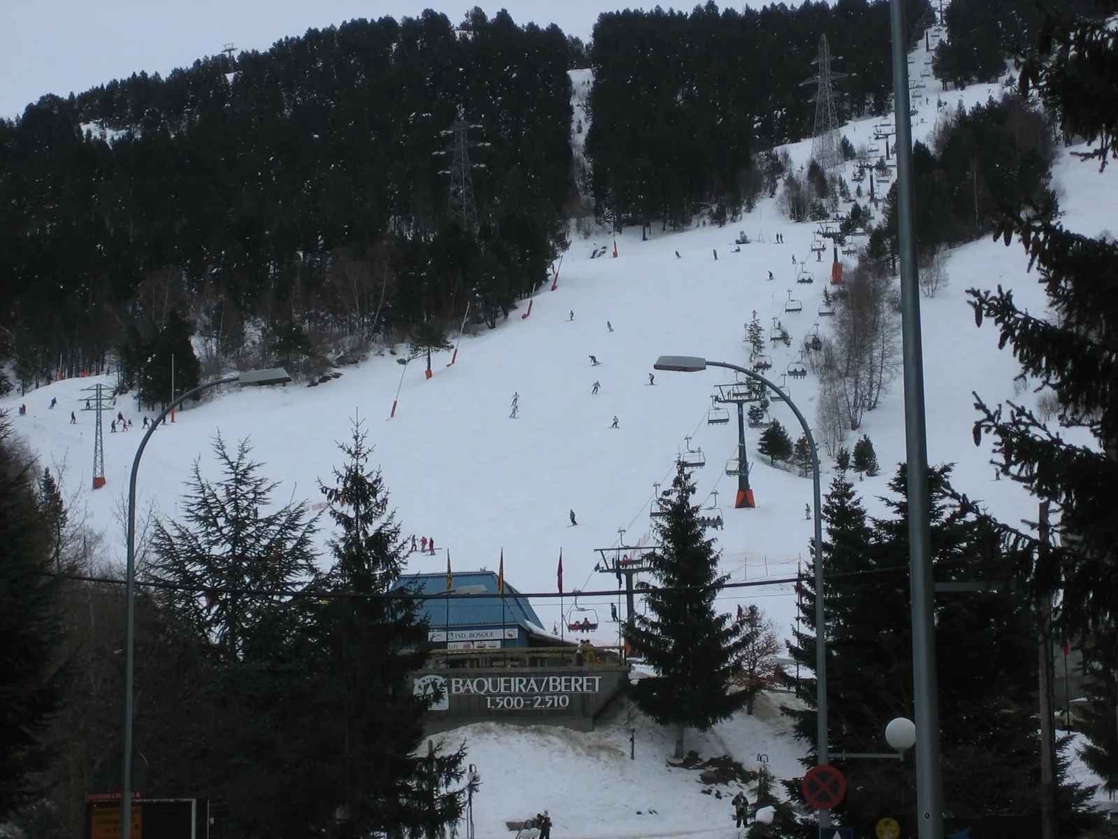
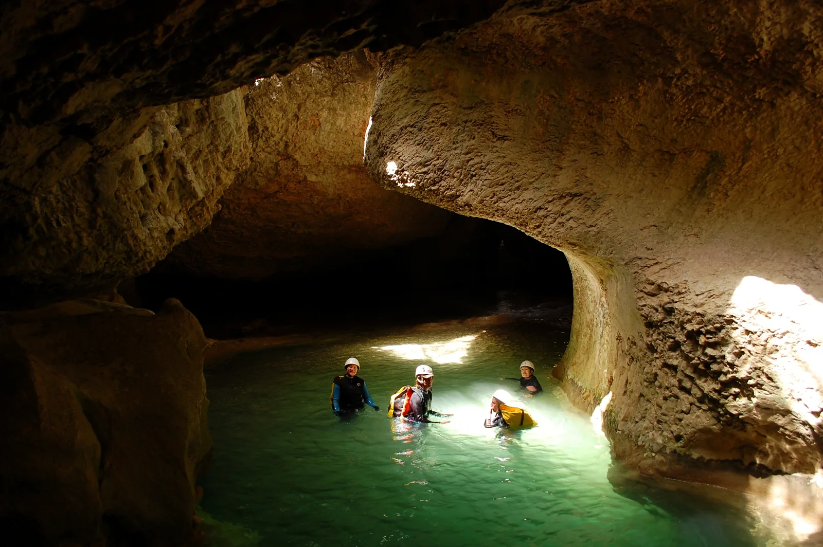
Real places and openly licensed photographs. Authors and original files for every image.








































Terrain and sources
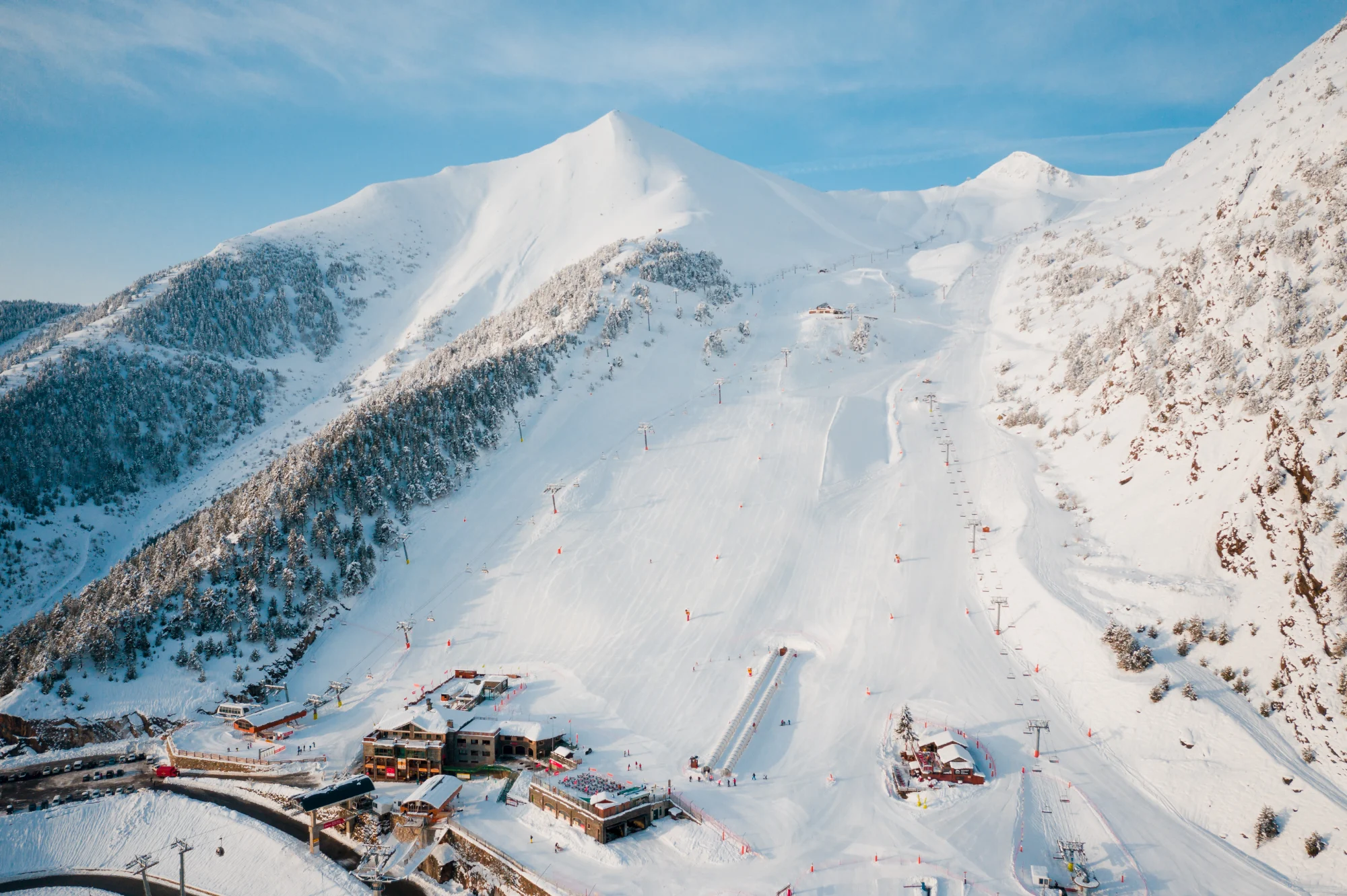
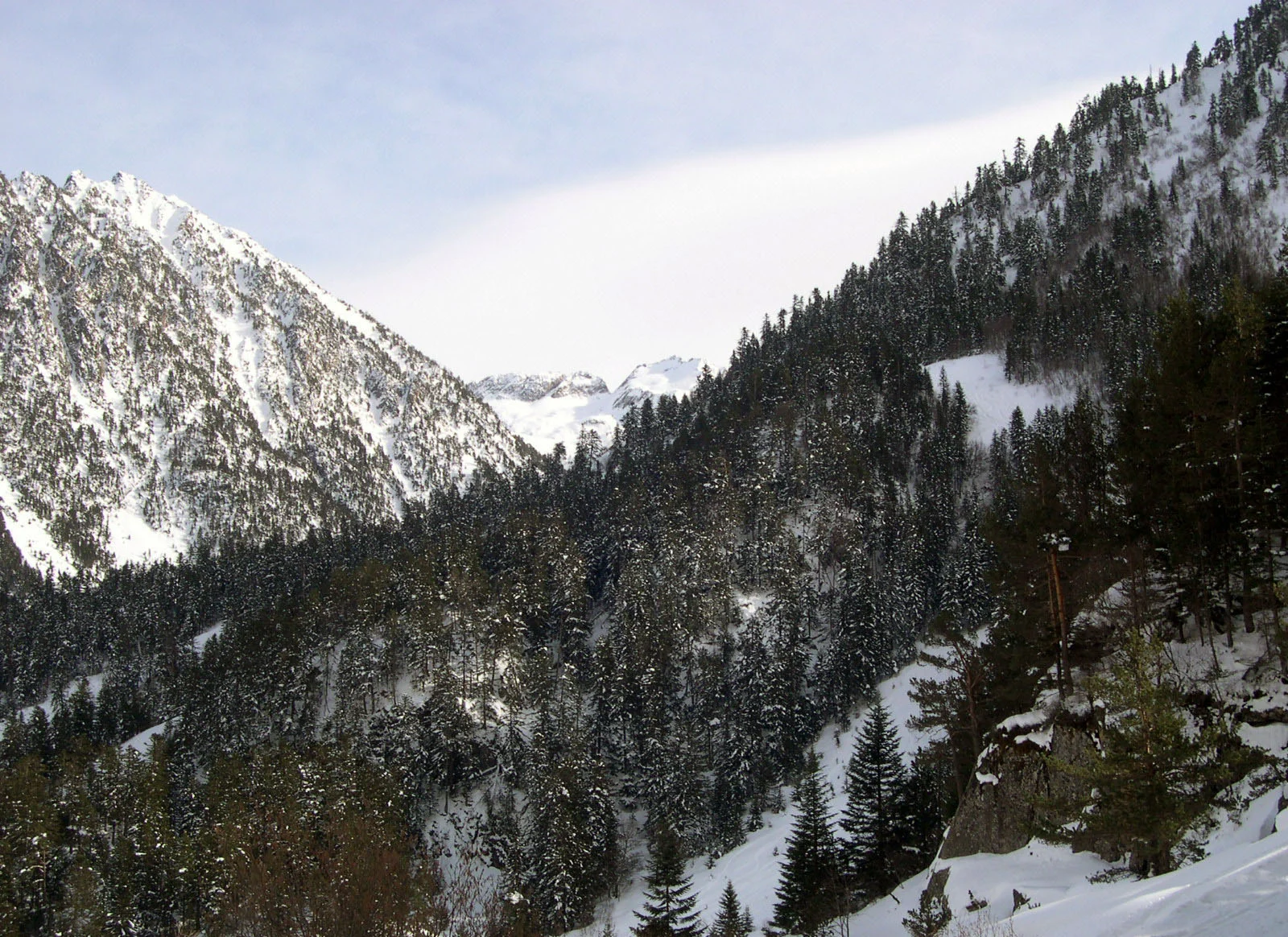
Explore the Pyrenees
Heights ×9 · Illustrative snow · Glacier outlines from 2000
Overview model, not for navigation. Colours and lighting are illustrative. Glaciers are enlarged; snow does not show current conditions.
Mapzen Terrain Tiles / SRTMGL1 · Natural Earth · Public domain · GLIMS · 2000 · © OpenStreetMap contributors
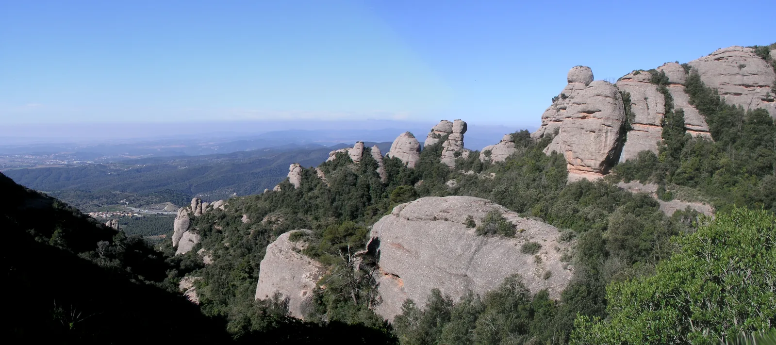
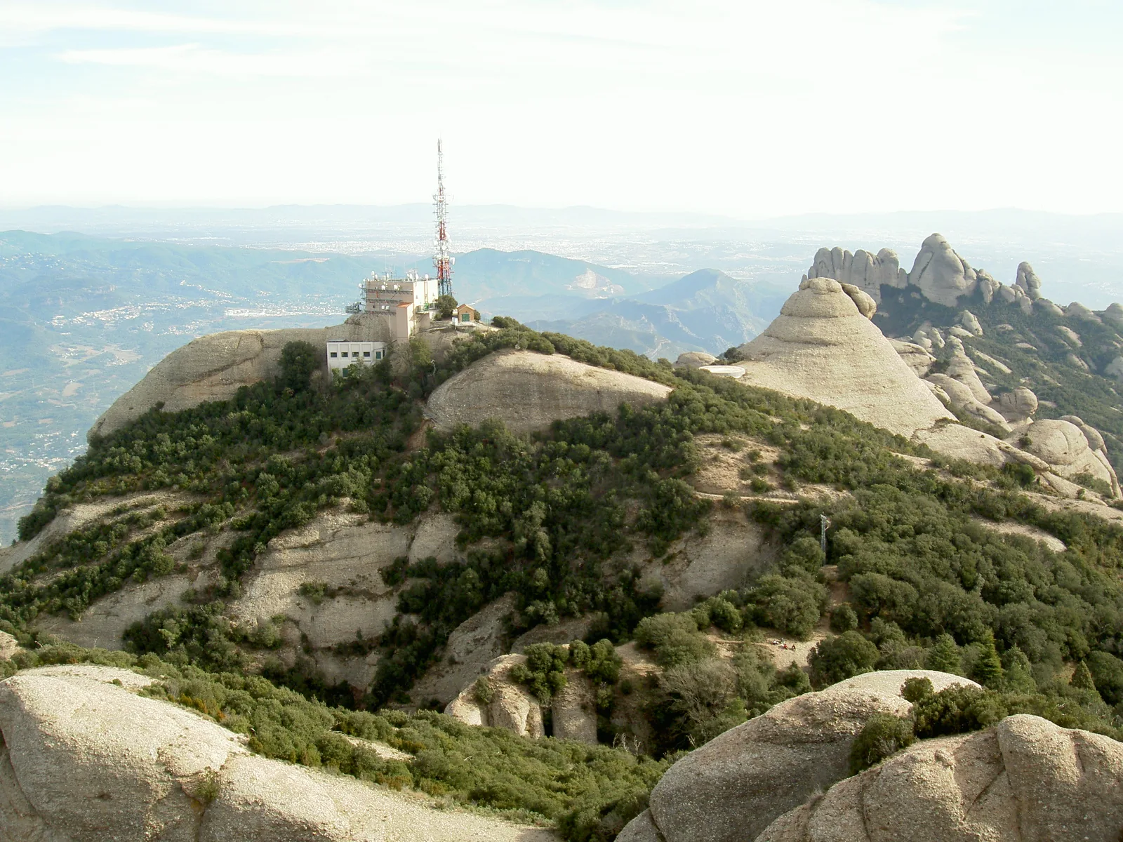
Montserrat in relief
ICGC LiDAR · Heights ×1.65 · 8 m grid
Overview model, not for navigation. Colours and lighting are illustrative. The elevation model does not represent overhangs or caves.