
Hiking
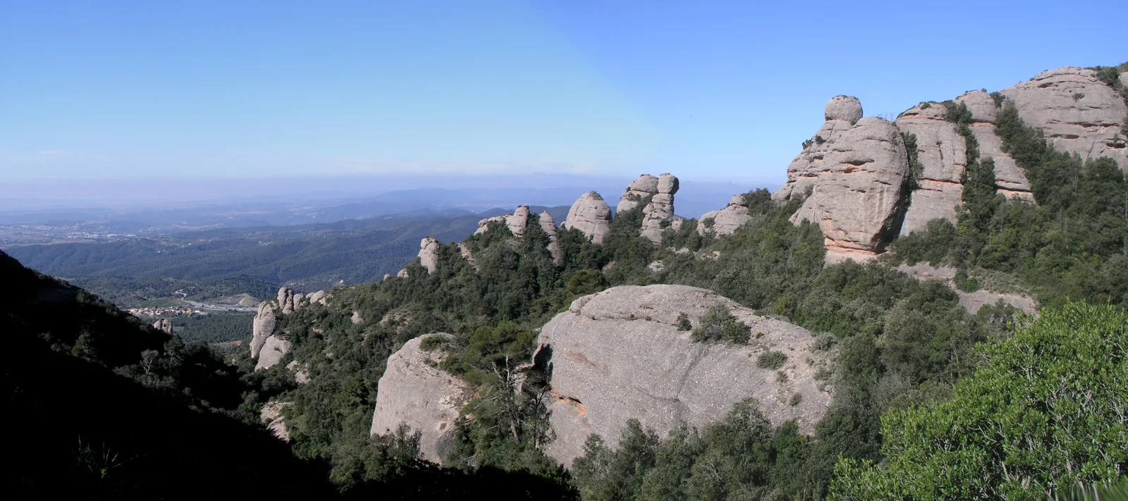
Western Montserrat makes sense when you walk around its towers. The official circuit from Can Maçana passes beneath the northern walls, climbs to Coll de Port and returns through the Vicenç Barbé refuge area. Light, woodland and silhouettes change along the way; needles that looked alike from a distance become distinct landmarks. This walking circuit differs from the high Agulles traverse with its scrambling passages. Allow time for junctions and pauses. The refuge is a useful place to reassess the day, but carry water and food independently of its opening arrangements.
Elevation gain ≈ +371 m
GPS estimate for the complete Can Maçana–Coll de Port–Vicenç Barbé–Portella–Can Maçana circuit, 6.98 km, including Sant Pau Vell. Excludes the high Agulles traverse.
Elevation sourceReviewed · 2026-09-09Before your trip
- Use the official Coll de Port circuit rather than a high-traverse track.
- Check Can Maçana access and parking and save an offline map of the junctions.
- Carry water; a named spring on the map does not guarantee drinking water.
Sources and access conditions
SENDA editorial · Sources checked: 8 September 2026
All Montserrat activities