
Hiking
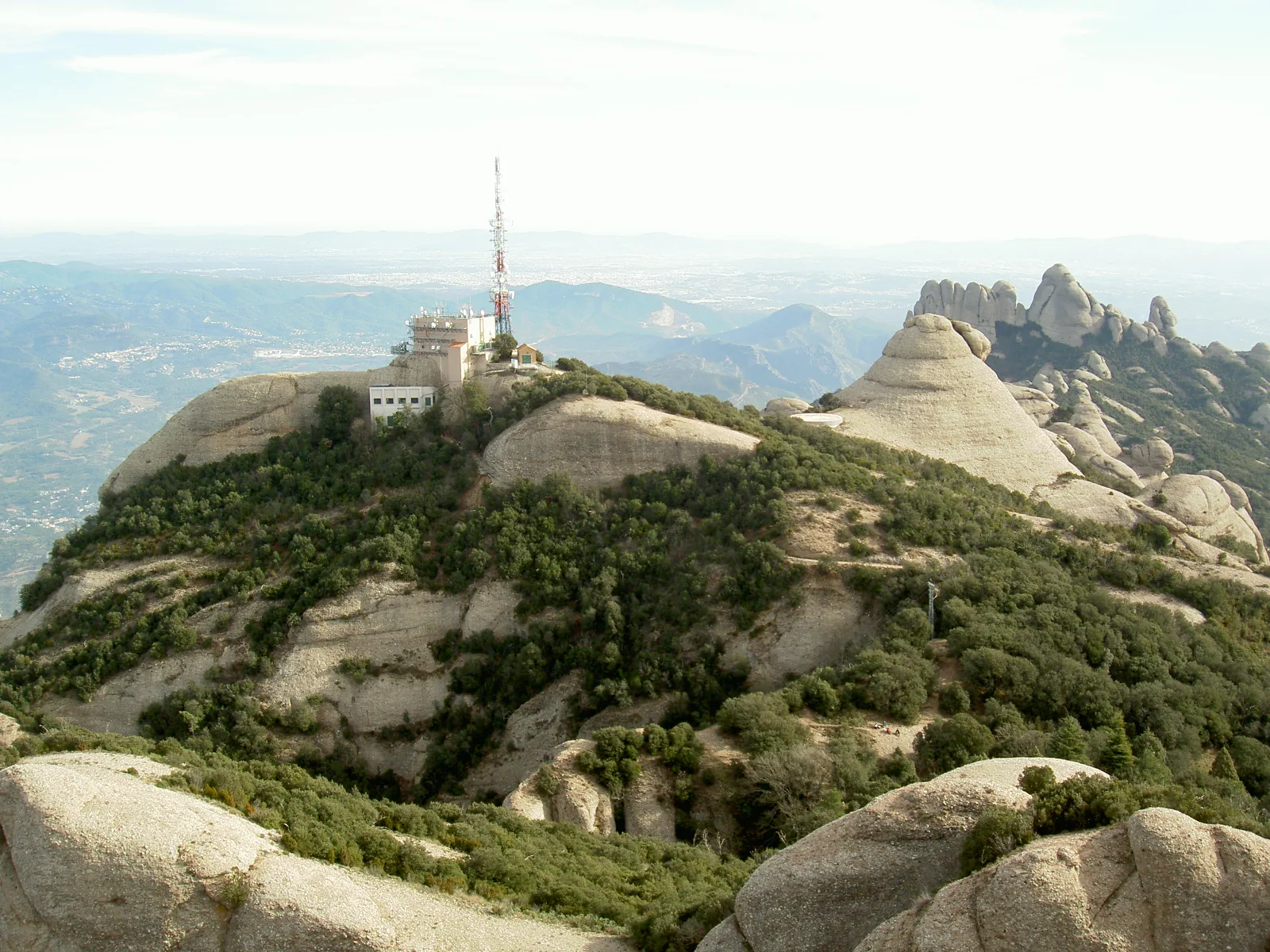
The approach to Sant Jeroni reveals Montserrat in stages: towers above the monastery, sheltered woodland and finally the stairs to an open summit. Decide whether to climb entirely on foot or begin beside the upper Sant Joan station when the funicular is operating. Those choices require different amounts of time and effort. Returning through Pla dels Ocells gives another perspective on the central valley. Leave room for a measured descent and pauses at the viewpoints, where this distinct Catalan massif can be understood in relation to the surrounding plains.
Elevation gain ≈ +252 m
Published GPS-track estimate: upper Sant Joan station–Sant Jeroni summit–Pla dels Ocells–monastery, 7.62 km. Excludes the funicular ascent; starting on foot at the monastery involves more climbing.
Elevation sourceReviewed · 2026-09-09Before your trip
- Match the mapped start to your plan: the funicular option is shorter than walking from the monastery.
- Check Sant Joan services and allow for a return on foot.
- Carry water and avoid the exposed summit in strong wind or thunderstorms.
Sources and access conditions
SENDA editorial · Sources checked: 8 September 2026
All Montserrat activities