A day hike means returning without sleeping on the route, not driving across the Pyrenees and starting after lunch. Choose one valley and a nearby base. These eight options involve different levels of effort; their figures apply to the stated starting point, and lift or bus access may change the plan. Suggestions assume snow-free conditions.
How to plan
Check whether the time is one-way or return. Add breaks, the walk from parking and transport queues.
Set a turnaround time and a simple fallback down in the valley. Change plans if storms or snow make the outing unsuitable.
Download the official description and a map before setting off. Battery and reception do not replace understanding your way back.
Do not add a nearby summit to a lake walk automatically: the effort and equipment may be quite different.
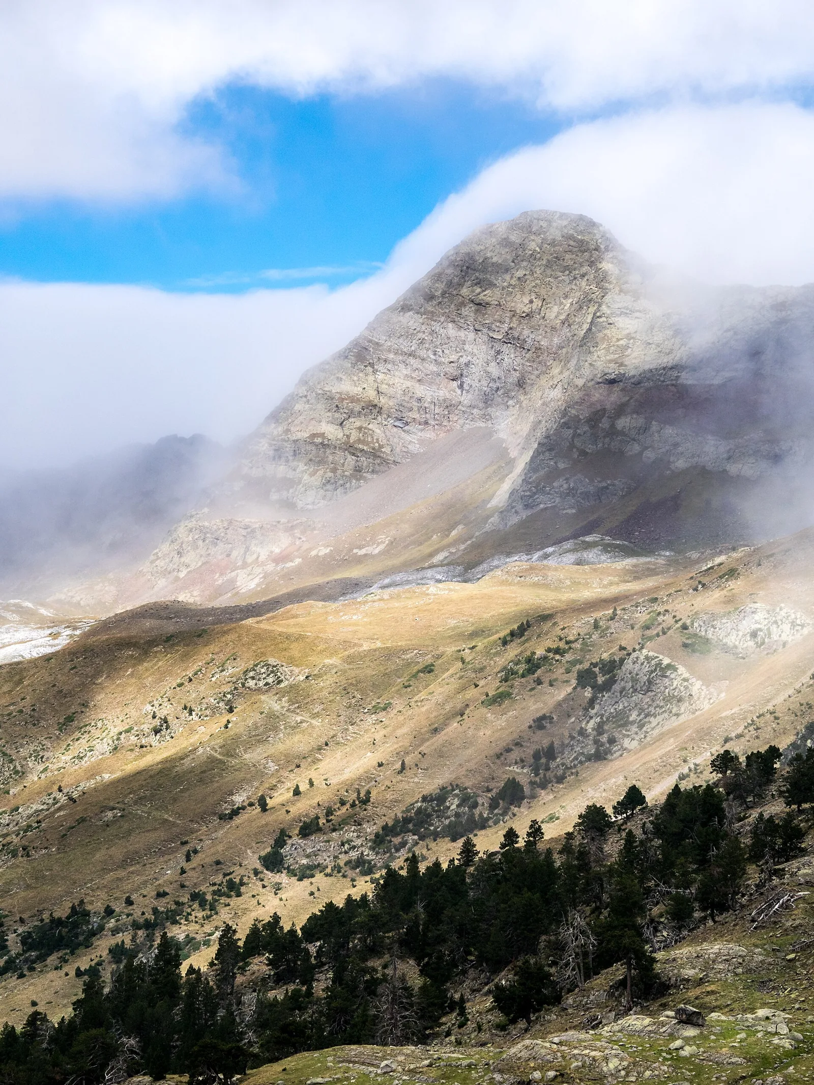
Forau de Aigualluts · Pico de la Mina · Basotxerri · CC BY-SA 4.0 · Cropped and optimised
01 / Selected option
Forau d’Aiguallut
Aiguallut offers a taste of big mountain scenery without making a summit the objective. From La Besurta, the path leads towards a waterfall and sinkhole, with open ground revealing the scale of the Aneto massif. Watching what happens to the water gives the walk a geological story as well as an attractive destination. For an unhurried day, choose the direct return outing to the Forau. Routes through La Renclusa or towards higher lakes deserve separate planning: neighbouring names on a map do not necessarily make easy additions.
Things to consider
≈ 2–3 hr including stops. The basic starting point is La Besurta. Check seasonal buses and access; starting at Llanos del Hospital or El Vado adds distance. The time shown is an indicative allowance with stops, not an official walking schedule. Stay on the path beside the sinkhole and avoid its edge when watching the water disappear.
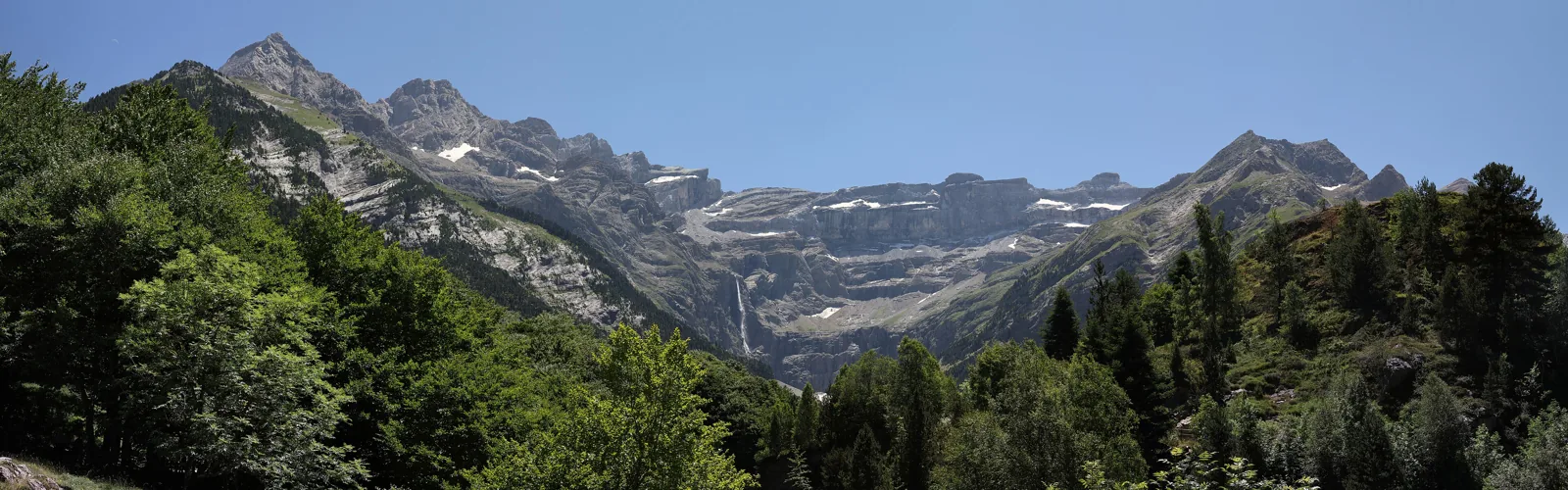
Gavarnie is a landscape whose scale makes more sense on foot than in a photograph. As you walk from the village, the limestone amphitheatre gradually fills the view and the waterfall becomes a thin vertical line against an immense wall. For a first visit, choose the main path to the Hôtellerie du Cirque. It offers the drama of the approach without requiring an upper mountain route. Walk slowly and look back occasionally. Alternatives involving high ledges or mountain huts have a different character and should be planned as separate outings.
Things to consider
≈ 2 hr 30 min walking. From the village parking areas, follow the main path towards the Hôtellerie du Cirque. Figures refer to the official return route. Approaching the waterfall base is optional and condition-dependent. Consult the local tourism office about current access: snow changes the character of this otherwise comparatively straightforward walk.
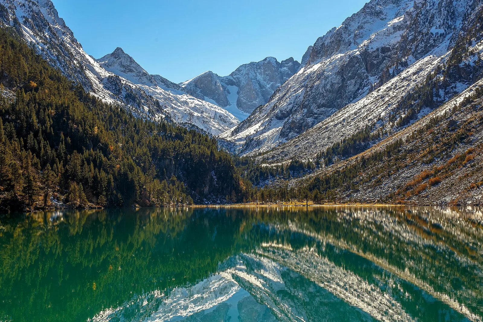
Gaube compresses the transition from woodland to open mountain scenery into a relatively short outing. The climb from Pont d’Espagne ends beside the water, with the valley continuing towards higher mountains beyond. It can fill a rewarding half-day without the need to push farther. We favour the walking approach because it reveals changes in terrain and vegetation before the lakeside pause. Continuing towards Oulettes de Gaube is tempting, but belongs to a much longer day. Make that decision before starting rather than after a casual glance at a signpost.
Things to consider
≈ 2 hr 30 min walking. Start at Pont d’Espagne. The 4.9 km and 2 hr 30 min describe the walking return route without lifts. Wear footwear suited to the stony path. Cauterets reports that swimming in lakes within the national park core has been prohibited since 15 June 2026. Winter conditions require separate assessment.
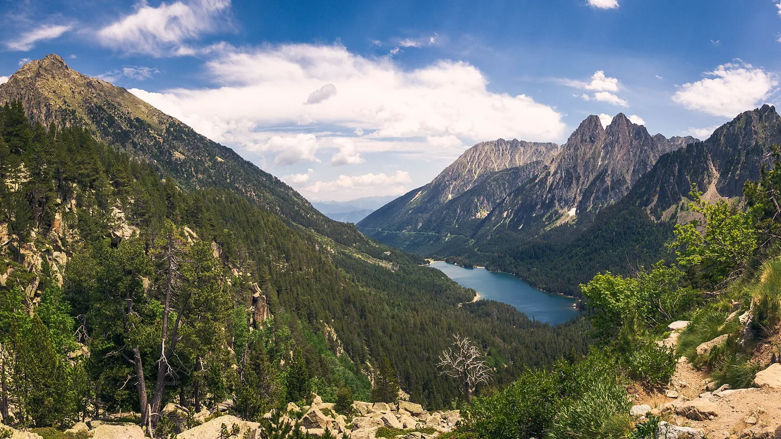
Aigüestortes · Estany de Sant Maurici · Jolaus · CC0 · Cropped and optimised
04 / Selected option
Sant Maurici · Ratera
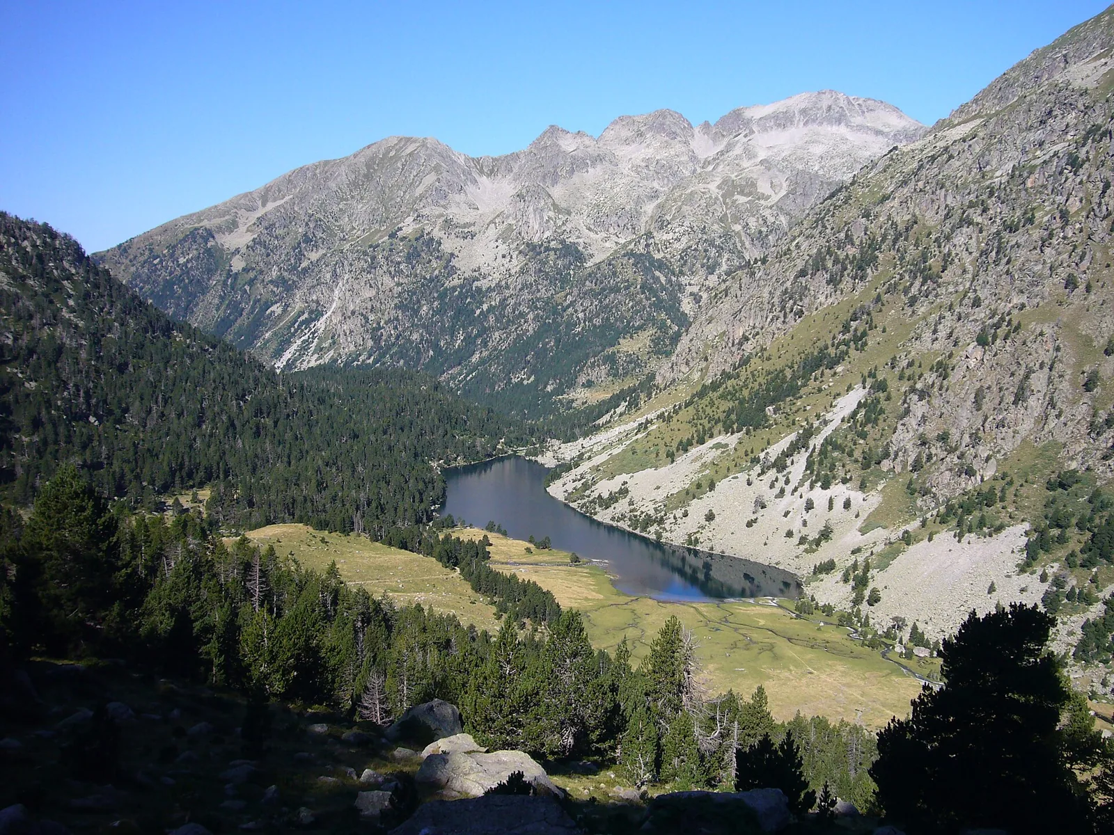
Sant Maurici introduces the high mountains through water and the striking outline of Els Encantats. Climbing through Ratera towards the viewpoint changes the scale: the lake becomes one feature within a much larger mountain bowl. For a first visit, we favour the viewpoint circuit and save the more distant lakes for another day. That leaves time to study the forest, water and granite walls. Walkers wanting a longer approach can start at Prat de Pierró, but should add that journey to the time quoted for the circuit itself.
Things to consider
≈ 2 hr 30 min from the lake. The circuit starts at the information hut beside Sant Maurici. The official 2 hr 30 min excludes the approach from Prat de Pierró. Decide how you will reach the lake before selecting extensions. Amitges and Portarró add further climbing. No single distance is given because different starting points create different walks.
The western side of Aigüestortes combines quiet water with a gradual opening of mountain views. Around the Planell, branching streams wind between trees; farther on, the trail reaches the long outline of Estany Llong. We suggest treating these as two different rhythms within a day: a short riverside circuit, followed by a longer lake walk if it suits the group. This works well when companions want different levels of effort, provided everyone agrees the plan in advance. Crossing Portarró towards Espot is a separate undertaking requiring its own arrangements.
Things to consider
≈ 3–4 hr from Planell, indicative. The indicative time covers the return walk from Planell d’Aigüestortes to the lake. Check transport from Boí; starting on foot at La Molina substantially increases the day. The park gives about 45 minutes for the short Planell circuit. Estany Redó and Portarró require additional time beyond the Llong outing.
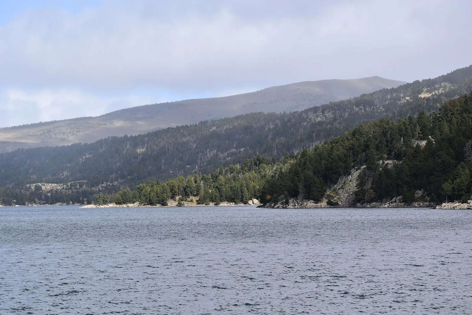
Bouillouses lets you plan a lake-focused day without making the Carlit summit compulsory. Small pools among granite and pines create a sequence of changing views that rewards a measured pace. The nine-lake variant is a useful introduction; the twelve-lake option gives more time in open mountain terrain. Choose between them according to the forecast, daylight and how often you want to stop, rather than the number of lakes collected. Both begin up at the site, so reaching the dam needs a separate allowance within the day.
Things to consider
≈ 2 hr 20 min / 3 hr 30 min. The lake circuits start near the Bouillouses dam. The department lists 2 hr 20 min for nine lakes and 3 hr 30 min for twelve, excluding access. Summer traffic is regulated. Work affects Calme Nord in 2026, so check current access information before relying on the previous chairlift arrangement.
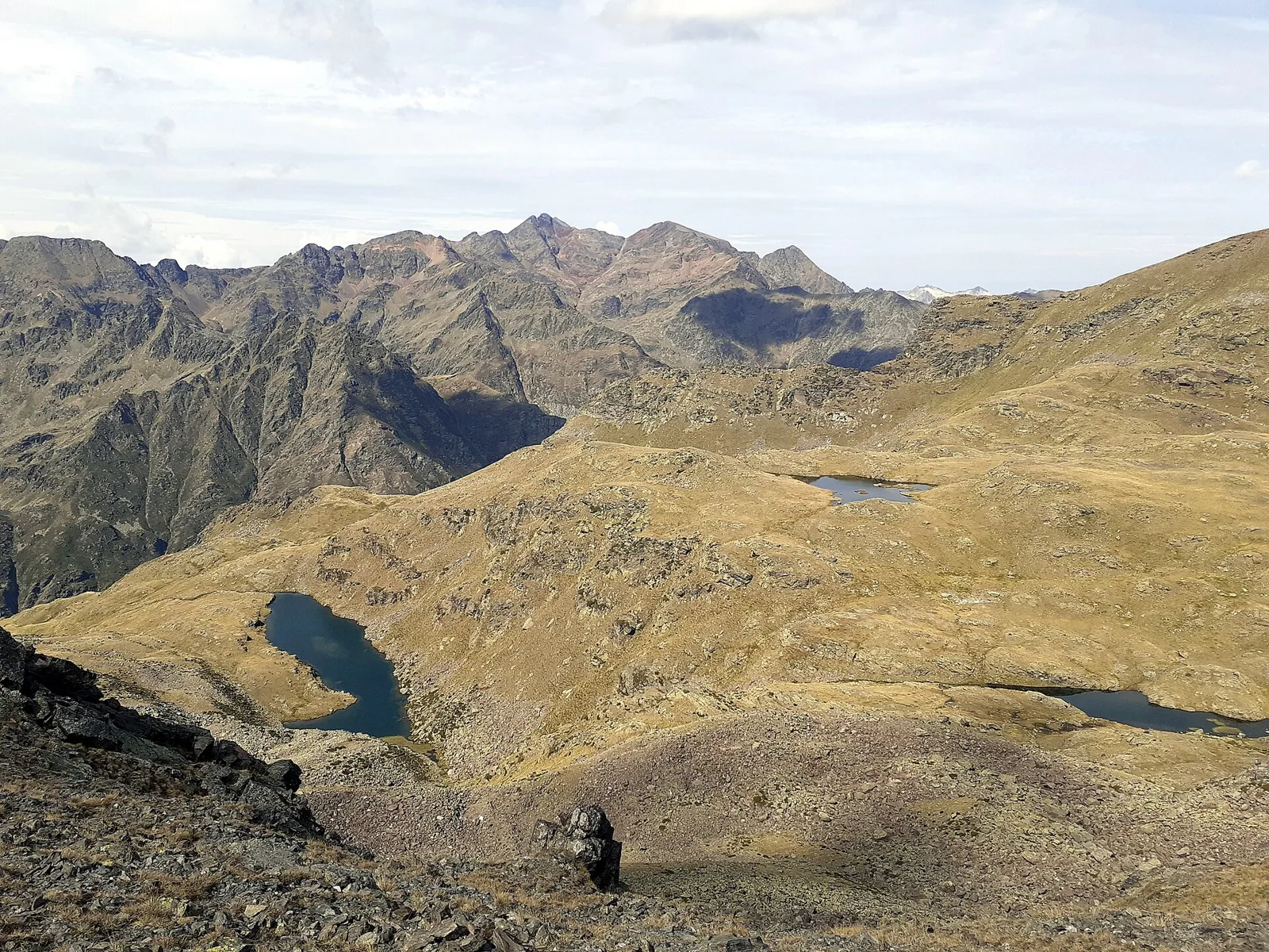
Tristaina is a useful introduction to Andorra’s lakes: three bodies of water sit at different levels inside an open mountain bowl. Small changes in height alter the view across their shores and surrounding slopes. We suggest treating the lake circuit as a complete outing, with pauses between each lake. It suits people comfortable on uneven mountain paths who are not looking for a long ascent. The Mirador Solar structure belongs to another way of visiting the area; reaching it should not be assumed to be part of the lakeside loop.
Things to consider
≈ 3 hr. The circuit begins at La Coma in Ordino Arcalís. Car access is restricted in summer, so check road arrangements and gondola operation. Approximately 4.4 km covers the lake loop, excluding a lower approach or Mirador Solar. Carry a warm layer and use secure footwear: a short walk is still high mountain walking.
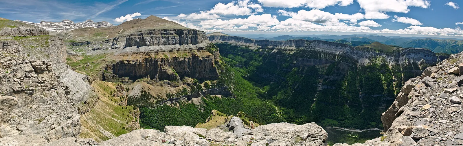
Ordesa rewards a slow reveal: woodland beside the Arazas gives way to cascades, then the valley opens into the meadows of Soaso and the Cola de Caballo waterfall. The journey matters as much as the final viewpoint. Our choice follows the valley floor from Pradera de Ordesa and returns along the same route. It makes a satisfying first full walking day in the Pyrenees for people accustomed to sustained exercise. Turning around at the lower waterfalls is a worthwhile shorter outing, particularly when you want time to stop and watch the water.
Things to consider
≈ 5 hr 30 min walking. Start at Pradera de Ordesa; the distance is for the valley-floor return walk. Check seasonal access arrangements from Torla. Senda de los Cazadores and Faja de Pelay are a more demanding alternative requiring separate planning. Allow extra time for the journey back and for stops beside the cascades.