What makes it special
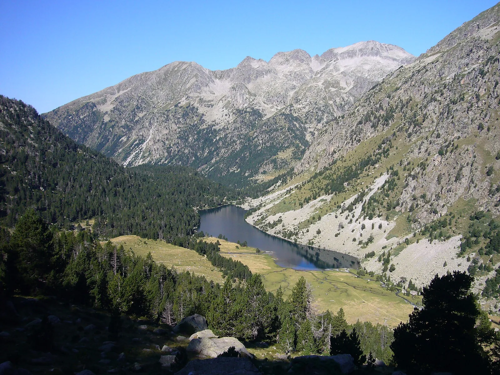
The western side of Aigüestortes combines quiet water with a gradual opening of mountain views. Around the Planell, branching streams wind between trees; farther on, the trail reaches the long outline of Estany Llong. We suggest treating these as two different rhythms within a day: a short riverside circuit, followed by a longer lake walk if it suits the group. This works well when companions want different levels of effort, provided everyone agrees the plan in advance. Crossing Portarró towards Espot is a separate undertaking requiring its own arrangements.
- Winding river channels
- Planell woodland footbridges
- Estany Llong shoreline
Plan your day
The indicative time covers the return walk from Planell d’Aigüestortes to the lake. Check transport from Boí; starting on foot at La Molina substantially increases the day. The park gives about 45 minutes for the short Planell circuit. Estany Redó and Portarró require additional time beyond the Llong outing.
Elevation gain ≈ +185 m
Estimated D+ from the published GPS track: Planell d’Aigüestortes–Estany Llong and back the same way, 10.31 km. Excludes La Molina, the additional Planell circuit, Estany Redó and Portarró.
Elevation sourceReviewed · 2026-09-09Before you set out
Check the forecast, trailhead access and the managing organisation’s notices. Times are estimates; snow, heat and your group’s pace affect difficulty.
Source and current conditions
SENDA editorial · Sources checked: 8 September 2026
Your first Pyrenees hike: choosing the right trail