What makes it special
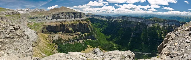
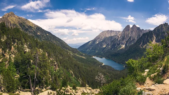
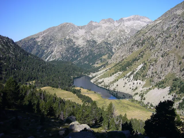
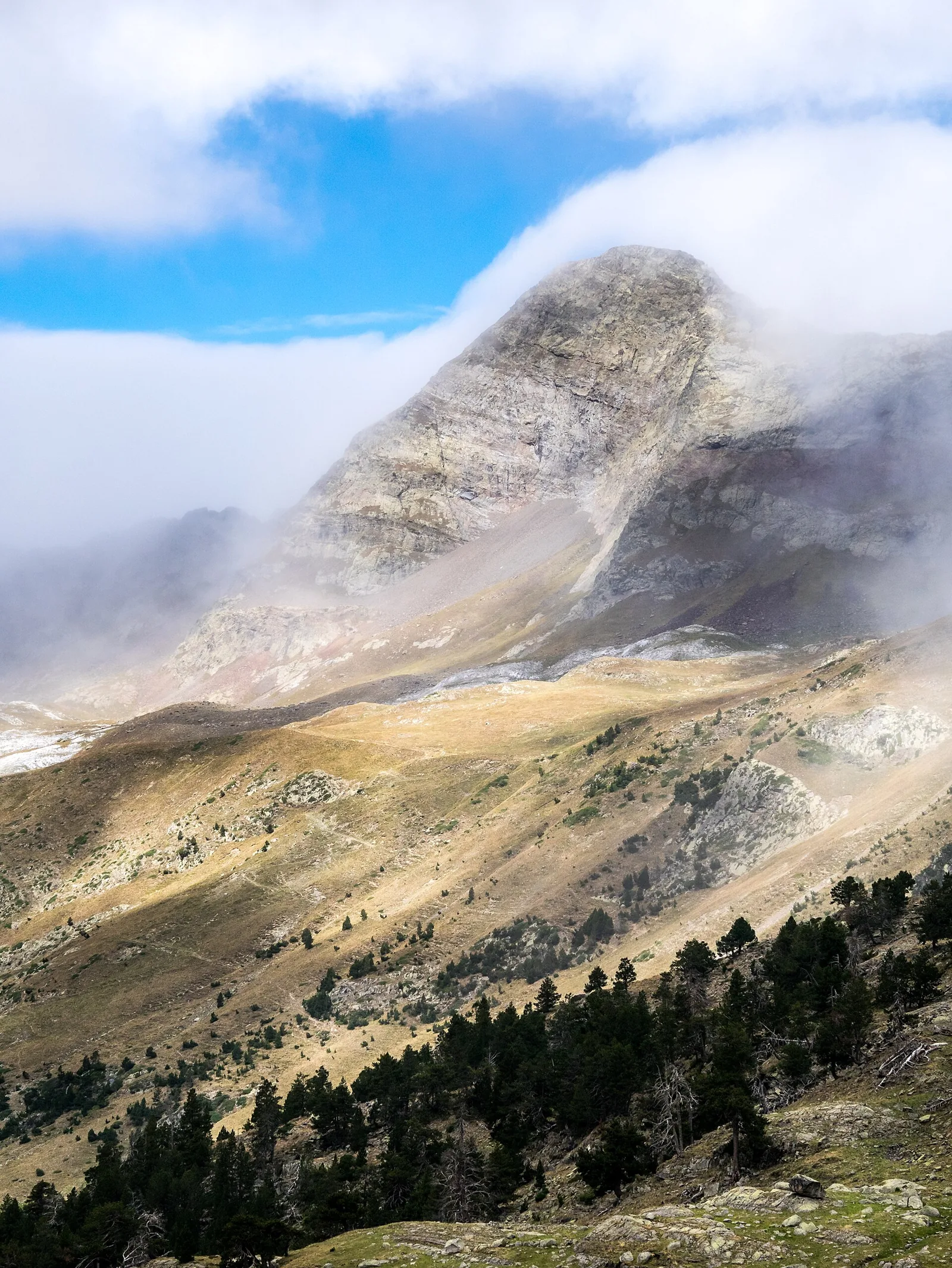
Aiguallut offers a taste of big mountain scenery without making a summit the objective. From La Besurta, the path leads towards a waterfall and sinkhole, with open ground revealing the scale of the Aneto massif. Watching what happens to the water gives the walk a geological story as well as an attractive destination. For an unhurried day, choose the direct return outing to the Forau. Routes through La Renclusa or towards higher lakes deserve separate planning: neighbouring names on a map do not necessarily make easy additions.
- Waterfall and sinkhole
- Views towards the Aneto massif
- Open mountain scenery
Plan your day
The basic starting point is La Besurta. Check seasonal buses and access; starting at Llanos del Hospital or El Vado adds distance. The time shown is an indicative allowance with stops, not an official walking schedule. Stay on the path beside the sinkhole and avoid its edge when watching the water disappear.
Elevation gain +150 m
For the official return outing from La Besurta via the Forau to nearby Plan de Aiguallut. Turning at the sinkhole shortens it; excludes La Renclusa and the approach from El Vado.
Elevation sourceReviewed · 2026-09-09Before you set out
Check the forecast, trailhead access and the managing organisation’s notices. Times are estimates; snow, heat and your group’s pace affect difficulty.
Source and current conditions
SENDA editorial · Sources checked: 8 September 2026
Your first Pyrenees hike: choosing the right trail