What makes it special
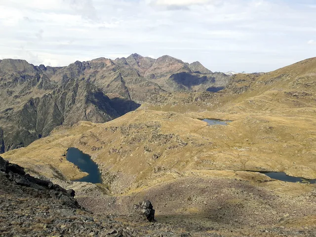
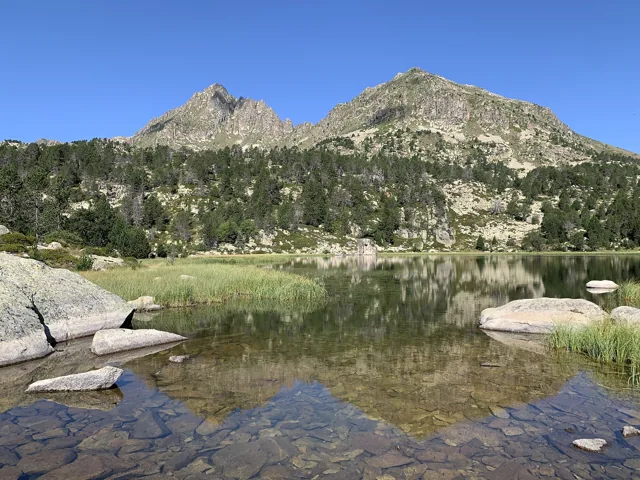
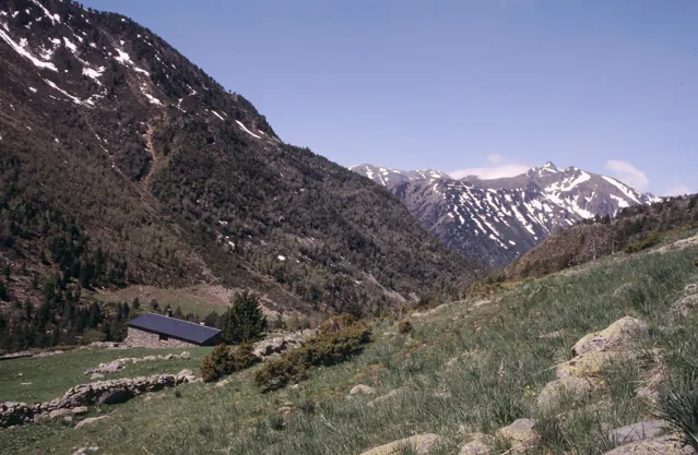
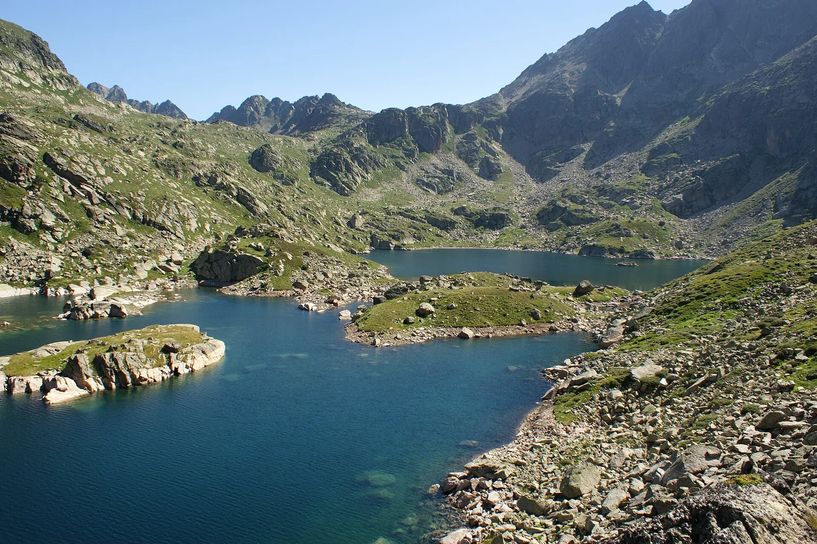
Juclar rewards the transition from the welcoming Incles valley into a more mineral lake basin. The climb gradually leaves woodland below and leads towards rock, water and an open mountain horizon. The first lake makes a proper resting place; continuing to the second is worthwhile when enough time remains for an unhurried descent. Centre the day on the lakes rather than adding a border crossing simply to collect another point on the map. The contrast between the lower valley and upper basin already provides a varied and satisfying outing.
- Incles valley approach
- First and second lakes
- Mountain hut setting
Plan your day
Start at Pont de la Baladosa at the end of the Incles road and check seasonal access. The official description gives 2 hr 10 min uphill and 1 hr 40 min downhill. The listing’s 4.57 km is not the complete return distance. Add breaks and a margin for the rockier sections.
Elevation gain ≈ +520 m
About 520 m for Pont de la Baladosa — second lake — return by the same path: calculated as 492 m outward ascent plus 28 m on return, using Andorra Turisme’s track.
Elevation sourceReviewed · 2026-09-09Before you set out
Check the forecast, trailhead access and the managing organisation’s notices. Times are estimates; snow, heat and your group’s pace affect difficulty.
Source and current conditions
SENDA editorial · Sources checked: 8 September 2026
Your first Pyrenees hike: choosing the right trail