What makes it special
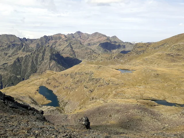
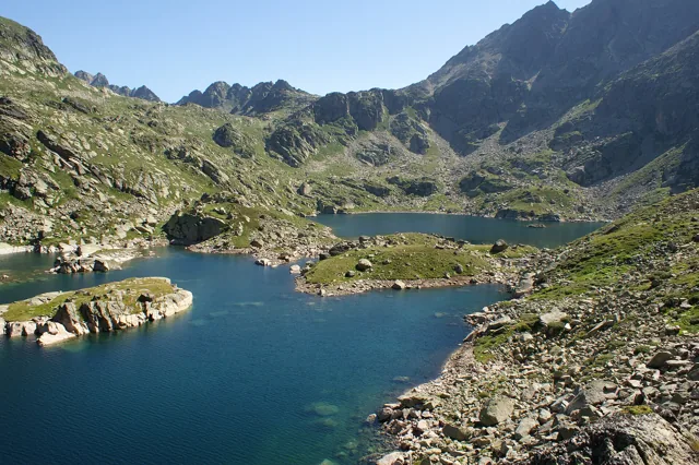
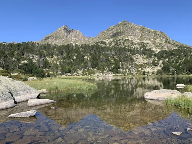
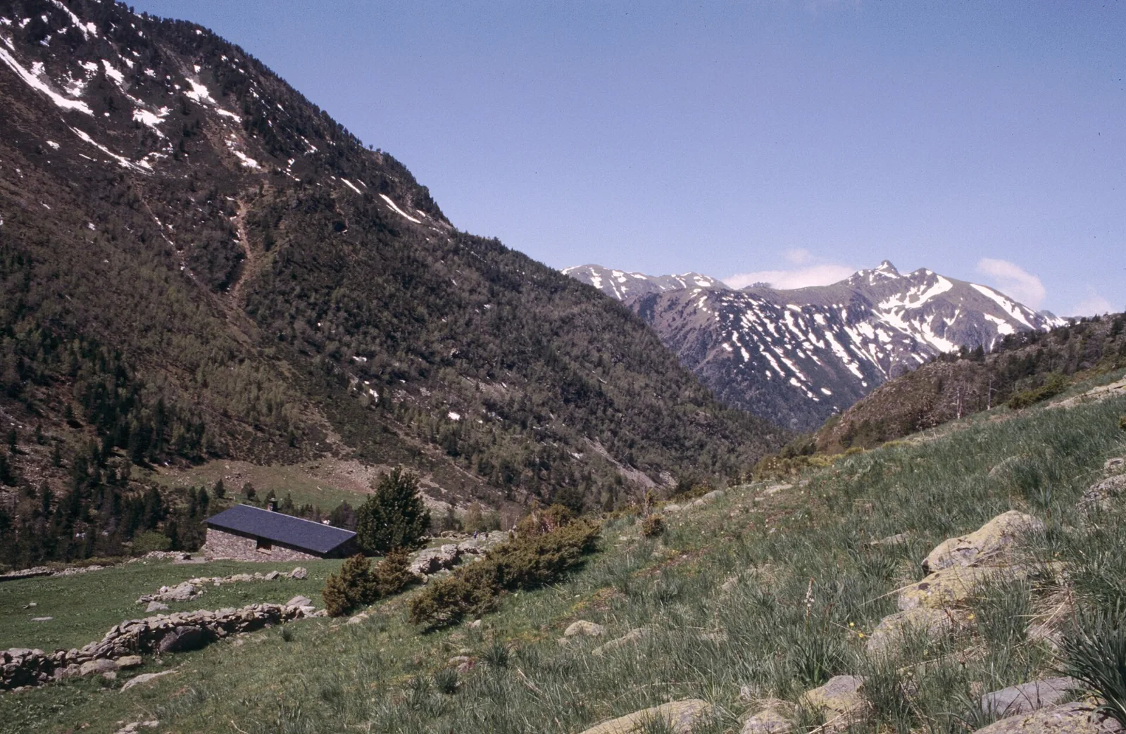
Choose Sorteny to look closely at nature: plants, riverbanks and woodland matter as much as distant summits. The Tomb pel planell de Sorteny circuit links interpretive paths and lends itself to a gentle pace. It works well between longer hiking days or with a group wanting fewer sporting demands. Leave time for the botanical garden and avoid turning an easy outing into an improvised climb towards Estanyó. A modest distance is an advantage when the aim is to notice small details and understand the landscape around you.
- Botanical garden
- Interpretive trails
- Sorteny river and woodland
Plan your day
The circuit begins at the information hut in Canya de la Rabassa car park. The official guide gives 4.9 km, about two hours and 225 m of ascent. Access is through El Serrat. Do not confuse it with the Estanyó lake or summit routes, which share the area but require different effort.
Elevation gain +225 m
Full 4.9 km Tomb pel planell de Sorteny circuit from Canya de la Rabassa information hut. Official PDF: +225/−225 m; excludes Estanyó lake and summit.
Elevation sourceReviewed · 2026-09-09Before you set out
Check the forecast, trailhead access and the managing organisation’s notices. Times are estimates; snow, heat and your group’s pace affect difficulty.
Source and current conditions
SENDA editorial · Sources checked: 8 September 2026
Your first Pyrenees hike: choosing the right trail