Outdoor activities in the Pyrenees

Summit ascents in the Pyrenees

Aneto, Monte Perdido and other summits: distinguish mountain hiking from technical mountaineering.

How to choose

A summit’s name does not describe the difficulty of reaching it. A summer path, a steep snow slope and a glacier call for different preparation. These listings help compare objectives; they do not replace an up-to-date route description, training or a guide’s assessment on the mountain.

  • Choose the exact ascent and descent; one summit can have several routes.
  • Compare the start, effort, overnight arrangements and time left for descent.
  • Check snow, glacier and rockfall conditions against the group’s actual experience.
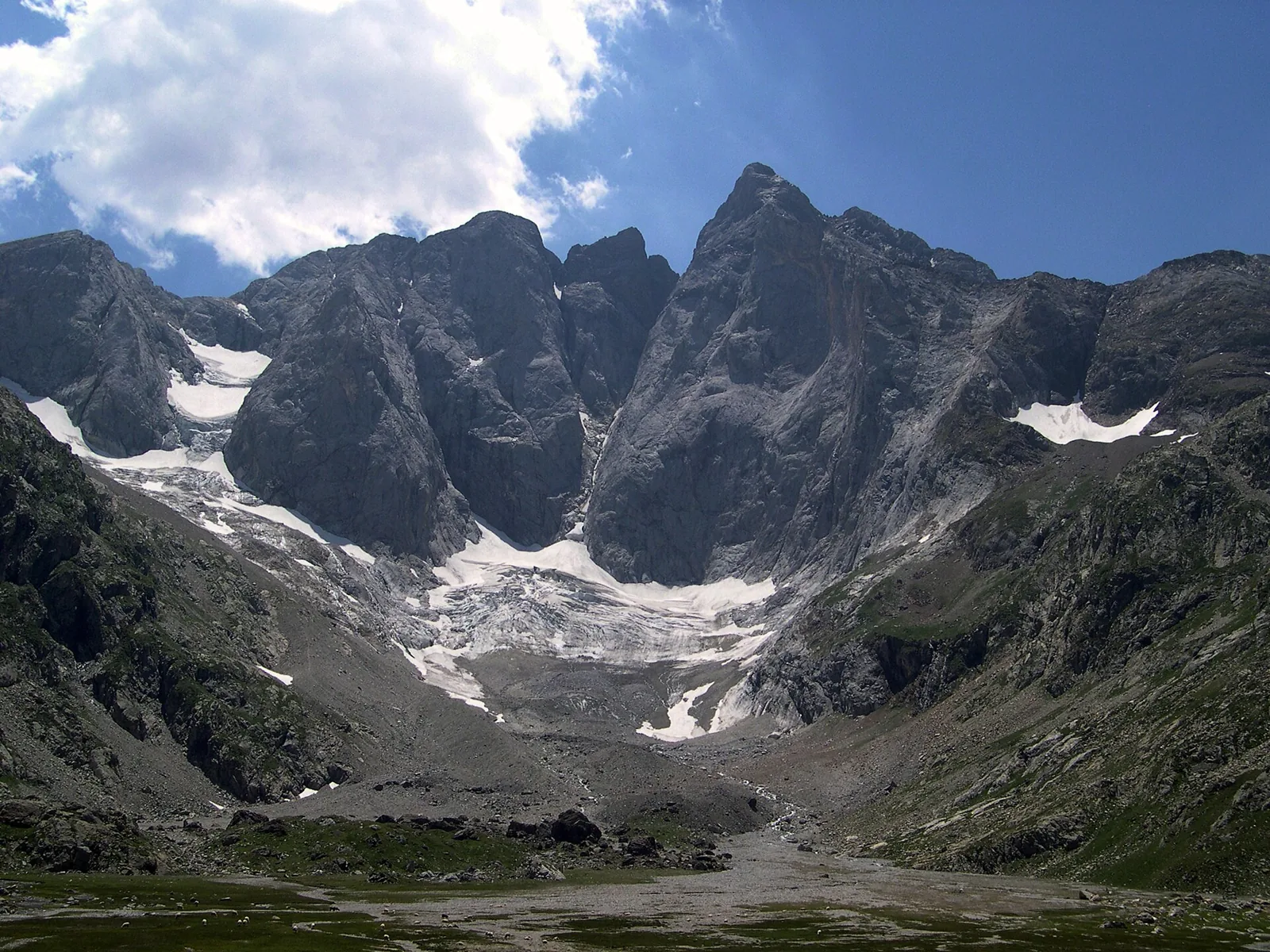
The north face of Vignemale from Oulettes de Gaube, photographed in 2005
Vignemale · Oulettes de Gaube · Seb_cazu · CC BY-SA 2.5 · Cropped and optimised
Results: 3Show allSources checked: 8 September 2026
Summit ascentsSpain · Aragón · Benasque · Posets-Maladeta

Aneto

Aneto combines several mountain worlds in one ascent: meadows near La Besurta, granite blocks, glacier terrain and the narrow rocky finish of Paso de Mahoma. That changing landscape gives the journey to the Pyrenees' highest summit its character. This is mountaineering, rather than an extension of a Benasque valley walk. The northern approach depends on snow and ice; the Salterillo option does not remove the glacier. Plan around suitable conditions and actual preparation, keeping energy for the return instead of treating the final summit metre as compulsory.

Mountaineering ascent crossing glacier terrain
Explore
Summit ascentsSpain · Aragón · Ordesa y Monte Perdido

Monte Perdido

Above Ordesa's green valley floor, Monte Perdido reveals pale limestone, huge natural steps, boulder fields and the upper bowl beside Lago Helado. Starting from Góriz reveals the massif's scale gradually. La Escupidera is the decisive part of the normal route: a steep slope where remaining snow or ice changes both the task and the consequences of a slip. Even dry, this is a substantial high-mountain ascent involving loose ground and navigation. Include the approach and return in your preparation, turning back if upper conditions exceed the group's skills.

High-mountain ascent; mountaineering when snow-covered
Explore
Summit ascentsSpain · Catalunya · Ripollès · Capçaleres del Ter i del Freser

Puigmal

Puigmal presents a rounder face of the high Pyrenees: broad slopes, lower grasslands and an open stony summit above Núria. In dry weather the route may look more straightforward than an ascent among glaciers and cliffs, but that openness increases wind exposure and makes fog navigation harder. Choose the start carefully: Fontalba and Núria mean different logistics and effort. Allow time to return, especially when using the rack railway. Winter is a separate undertaking involving snow and avalanche conditions; summer popularity does not make it automatically easy.

High-mountain walk; separate winter ascent
Explore