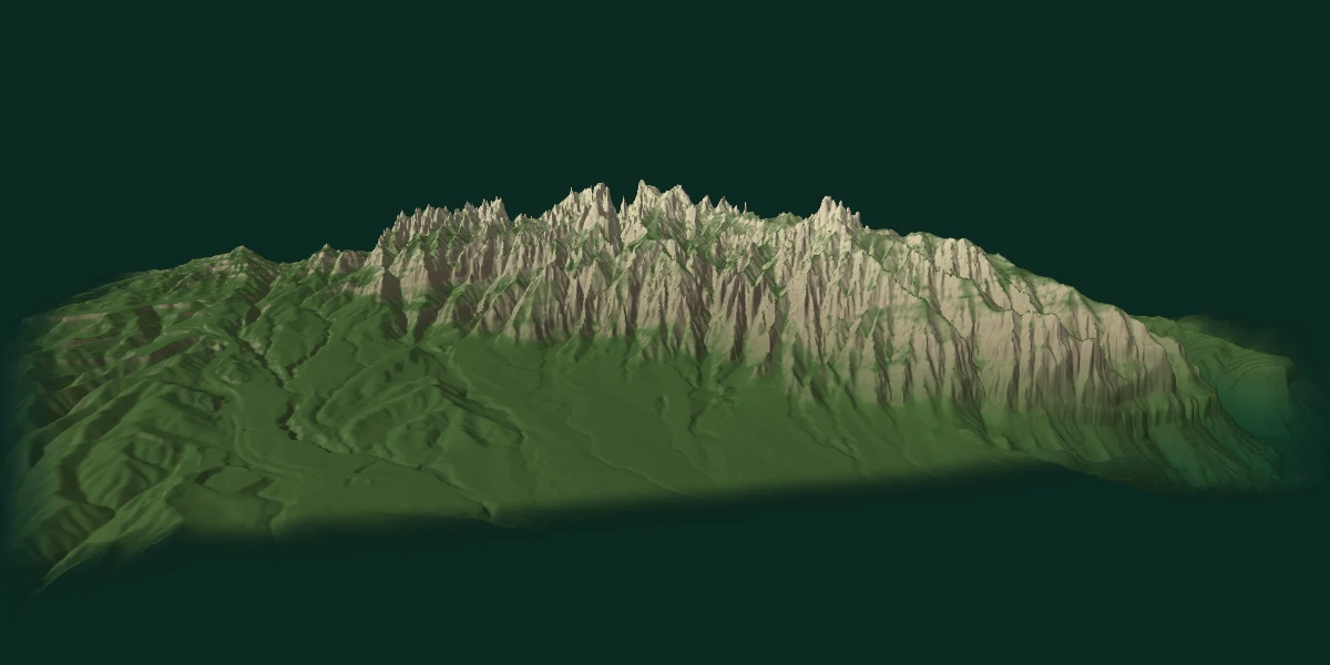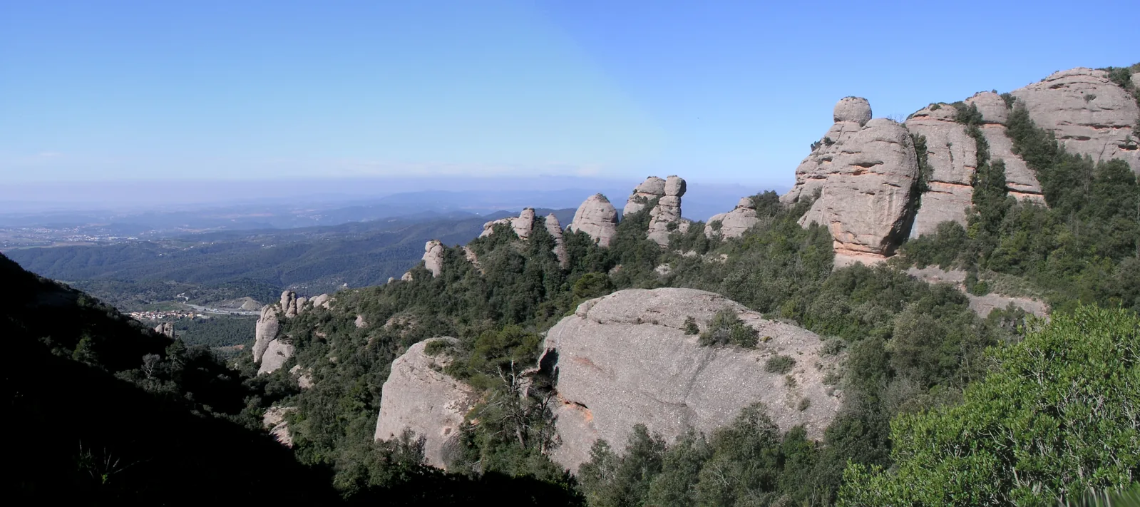
Compare walking routes
This selection compares two ways to reach Sant Jeroni and a circuit around Agulles. It covers part of the massif, not every route. Each row follows its named source; the linked guides also describe other variants and tracks whose figures may differ.
| Route and start | Return | Source distance and time | Total ascent | Effort and transport |
|---|---|---|---|---|
| Agulles and Frares Encantats via Coll de PortCan MaçanaRoute guide and variants | Circuit via Coll de Port, Vicenç Barbé refuge and the Portella back to Can Maçana. | 5.7 km · ≈ 2 h 15 min Route source | Not supplied by this source | Trails and a rocky passage; take care on the descent in rain or fog. Arrange access to Can Maçana separately. |
Times help estimate the walking part and exclude the journey from Barcelona and transport queues. Only Rutes Pirineus explicitly gives walking time without stops. Summit elevation is not cumulative ascent.
A shorter walk from the monastery
The Sant Miquel path starts at plaça Abat Oliba and climbs along a paved section. The branch to Creu de Sant Miquel offers a goal before continuing towards the chapel and Sant Joan. Choose your turnaround point before setting out: figures for the complete hermitage itinerary do not describe a short visit to the cross.
Reach the trailhead and plan your return
From Barcelona, the R5 train connects with the Cremallera rack railway at Monistrol de Montserrat or the Aeri cable car at Aeri de Montserrat. Both take you to the monastery area. Sant Joan is a separate onward ride to a higher starting point. Can Maçana lies in another sector; reaching the monastery does not get you to that trailhead.
Check the timetable for your travel date and the last descent of the service you intend to use. Allow for stops and the walk back before choosing the longer route.
Find the places on the map · Montserrat with children
SENDA editorial · Sources checked on 15 September 2026. This was a review of documents, not an on-site route inspection.