What makes it special
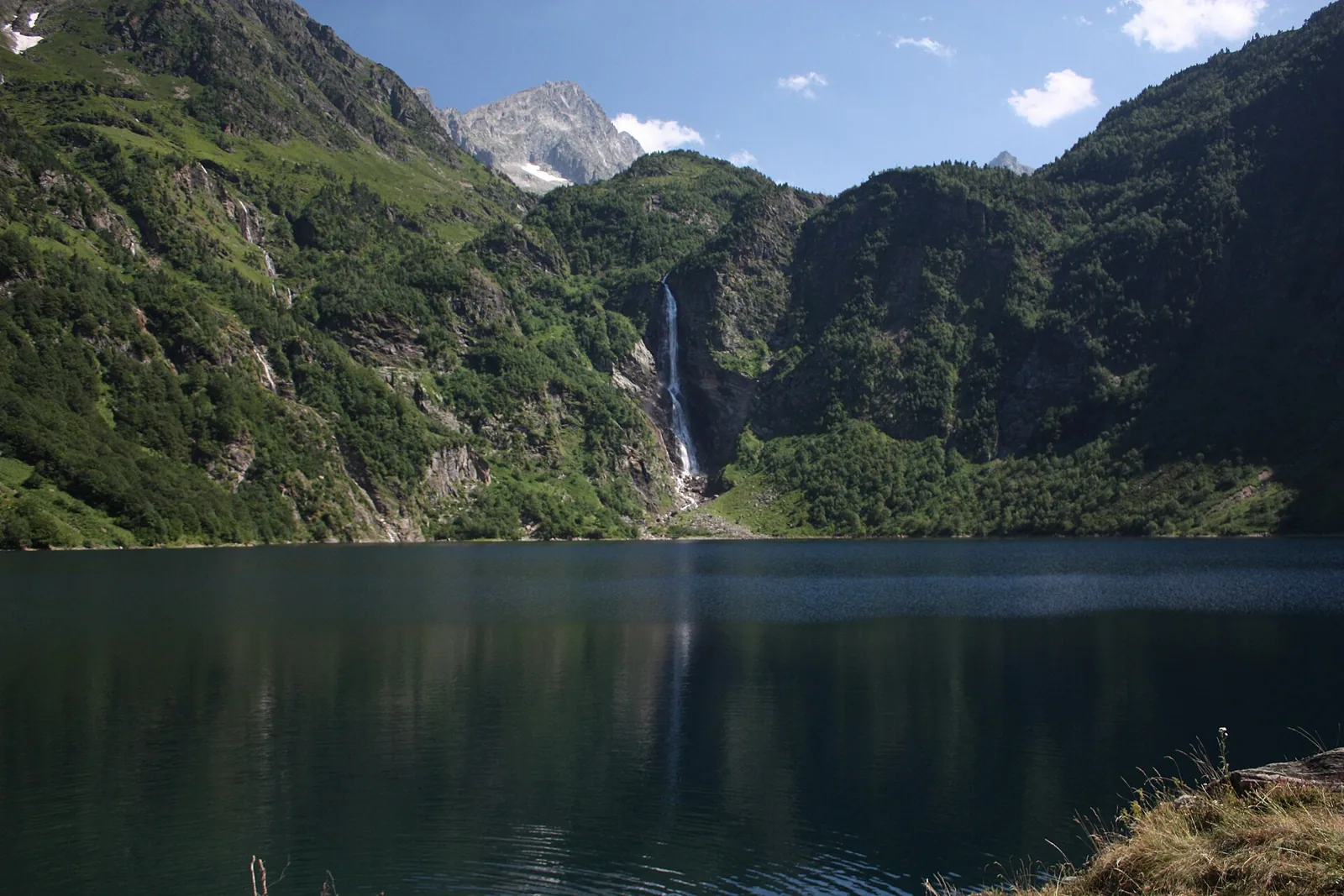
Oô has a clear visual story: a woodland climb ends with water and a tall waterfall across the lake. The route is easy to understand and makes a satisfying outing without a complicated full-day programme. Allow a proper pause on arrival; changing light and moving water give you plenty to watch. It is a good introduction to the Luchon area if you are comfortable with a sustained uphill walk. Espingo and Saussat are attractive higher destinations in their own right, but continuing to them considerably changes the effort required.
- Waterfall above the lake
- Woodland approach
- Straightforward return itinerary
Plan your day
Start at Granges d’Astau and follow route 41. We use the tourism office article’s approximate 6.6 km return distance; its technical listing shows a different figure. Always check which section a measurement covers. This outing ends at Oô; continuing to Espingo involves more ascent and requires additional time.
Elevation gain ≈ +440 m
Approximately 440 m ascent for Granges d’Astau — Lac d’Oô — Granges d’Astau, around 6.6 km, according to the tourism article. Excludes Espingo.
Elevation sourceReviewed · 2026-09-09Before you set out
Check the forecast, trailhead access and the managing organisation’s notices. Times are estimates; snow, heat and your group’s pace affect difficulty.
Source and current conditions
SENDA editorial · Sources checked: 8 September 2026
Your first Pyrenees hike: choosing the right trail