Spain / Aragón
Ordesa · Cola de Caballo
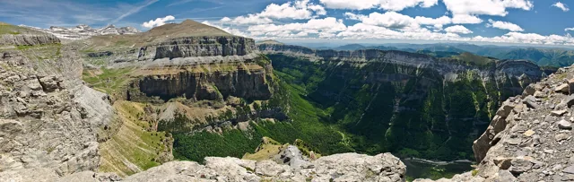
Ordesa rewards a slow reveal: woodland beside the Arazas gives way to cascades, then the valley opens into the meadows of Soaso and the Cola de Caballo waterfall.
When choosing a Pyrenees walk, compare distance, accumulated ascent and time for the same route variant. Different starting points, terrain and return routes can make for very different days at the same destination.
SENDA covers a selection of routes in Spain, France and Andorra, with gaps across the range. Montserrat has a separate directory as a Catalan massif outside the Pyrenees.
Use the filters to narrow your options, then open a guide to check the route variant, sources and visiting conditions. Inclusion in this directory does not confirm that a route is open.
| Criterion | What to check in the route guide |
|---|---|
| Area and starting point | Country and region narrow down the area. Check the actual trailhead and how to reach it; several itineraries may lead to the same lake or summit. |
| Variant and distance | Check whether the distance covers one way, an out-and-back or a full circuit. A point-to-point walk needs a plan for getting back from a different finish. |
| Accumulated ascent | This adds up every climb along the route. Read it alongside distance to compare effort; summit altitude is a separate measurement. Unconfirmed ascent remains unknown. |
| Walking time and the whole day | Check what the estimate includes and whether it covers the return. Allow extra time for stops, travel and any transport needed to reach the trailhead. |
| Terrain and difficulty | A short walk may still involve steep slopes, rock or exposed sections. SENDA’s labels give a broad indication for snow-free conditions and are not official technical grades. |
| Season and access | The suggested season helps with planning; it does not guarantee a snow-free trail or access on your chosen day. Check the forecast and notices from the managing body linked in the guide. |
Sources for these criteria: Montaña Segura · MIDE · Montaña Segura · Horario de una excursión · Parc Natural de l’Alt Pirineu · Itineraris
Comparison criteria checked against sources on 25 September 2026. This does not renew the source reviews for individual routes.
Ordesa rewards a slow reveal: woodland beside the Arazas gives way to cascades, then the valley opens into the meadows of Soaso and the Cola de Caballo waterfall.
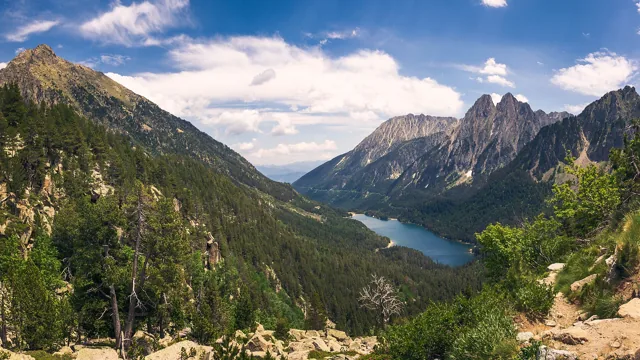
Sant Maurici introduces the high mountains through water and the striking outline of Els Encantats.
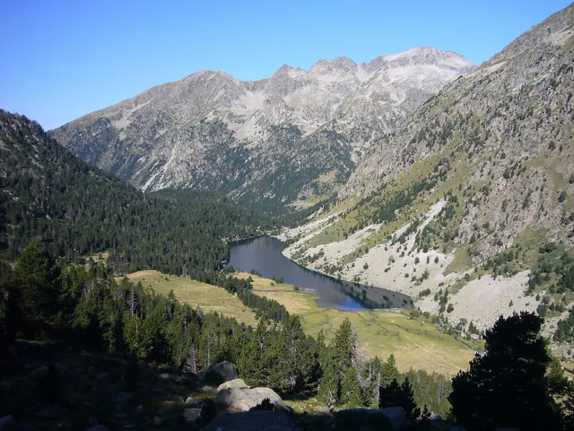
The western side of Aigüestortes combines quiet water with a gradual opening of mountain views.
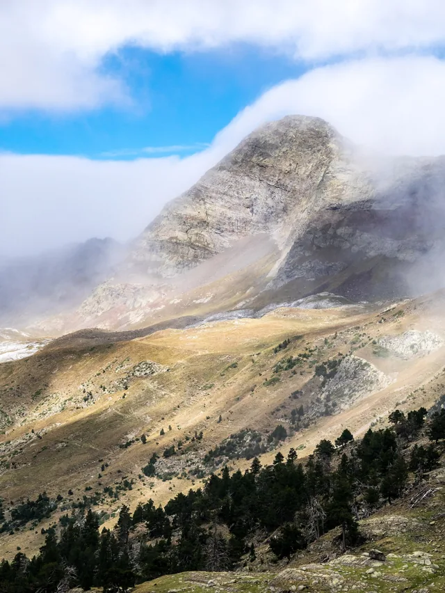
Aiguallut offers a taste of big mountain scenery without making a summit the objective.
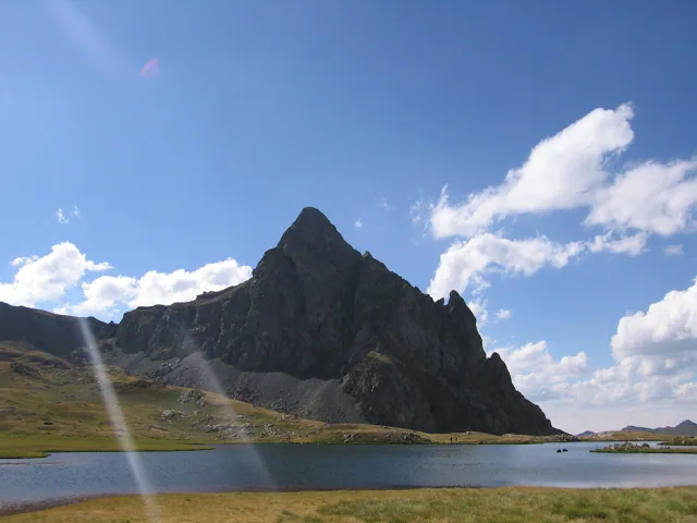
The Anayet lakes save their main surprise for the moment the climb opens onto a broad plateau.
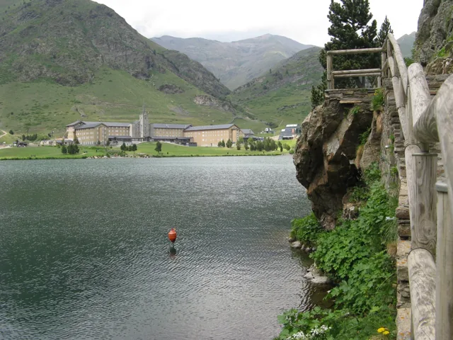
Núria suits a day when you want high mountain surroundings while keeping the amount of walking flexible.
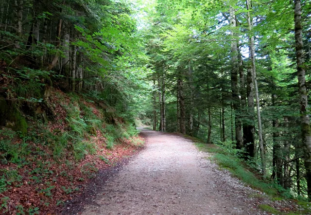
Irati reveals a different Pyrenean landscape, with the forest taking the role usually played by summits.
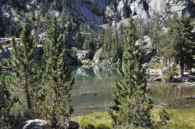
Escarpinosa offers an appealing combination of mountain water and pines growing close to its shore.